Approximate Location Map
Large Map »
Latitude: 50.8716 / 50°52'17"N
Longitude: -0.5188 / 0°31'7"W
OS Eastings: 504315
OS Northings: 109054
OS Grid: TQ043090
Mapcode National: GBR GKD.7N6
Mapcode Global: FRA 96SS.ZMD
Plus Code: 9C2XVFCJ+JF
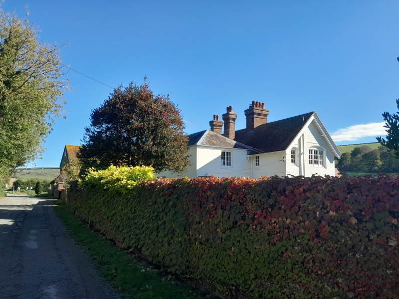
Entry Name: Burpham Farm House
Listing Date: 20 September 1984
Grade: II
Source: Historic England
Source ID: 1027662
English Heritage Legacy ID: 297795
ID on this website: 101027662
Location: Burpham, Arun, West Sussex, BN18
County: West Sussex
District: Arun
Civil Parish: Burpham
Traditional County: Sussex
Lieutenancy Area (Ceremonial County): West Sussex
Church of England Parish: Burpham St Mary the Virgin
Church of England Diocese: Chichester
Tagged with: Farmhouse
TQ 00 NW BURPHAM THE STREET
9/223
Burpham Farm House
II
Early C19. Two storeys. Three windows. Stuccoed. Eaves cornice. Hipped slate
roof. Glazing bars intact. Doorway with flat hood on brackets, rectangular fanlight
and door of six moulded panels.
Listing NGR: TQ0431509054
External links are from the relevant listing authority and, where applicable, Wikidata. Wikidata IDs may be related buildings as well as this specific building. If you want to add or update a link, you will need to do so by editing the Wikidata entry.


Other nearby listed buildings
