Approximate Location Map
Large Map »
Latitude: 52.515 / 52°30'54"N
Longitude: 1.7044 / 1°42'15"E
OS Eastings: 651441
OS Northings: 297245
OS Grid: TM514972
Mapcode National: GBR YSN.CQK
Mapcode Global: VHM6F.H1FT
Plus Code: 9F43GP83+2Q
Entry Name: Pound at Junction with Pound Lane
Listing Date: 29 January 1987
Grade: II
Source: Historic England
Source ID: 1031943
English Heritage Legacy ID: 282358
ID on this website: 101031943
Location: Blundeston, East Suffolk, NR32
County: Suffolk
District: East Suffolk
Civil Parish: Blundeston
Built-Up Area: Blundeston
Traditional County: Suffolk
Lieutenancy Area (Ceremonial County): Suffolk
Church of England Parish: Blundeston St Mary
Church of England Diocese: Norwich
Tagged with: Building
BLUNDESTON CHURCH ROAD
TM 59 NW
2/7 Pound at junction with
Pound Lane
II
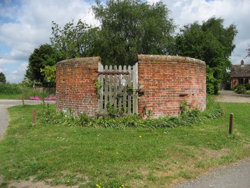
Pound. Early C19. Red brick with brick copings. Circular on plan, about 2m
high, with a wooden gate. A circular pound is a rarity: there are others at
Somerleyton (Item No.1/71) and Wrentham (Item No.6/87).
Listing NGR: TM5144197245
External links are from the relevant listing authority and, where applicable, Wikidata. Wikidata IDs may be related buildings as well as this specific building. If you want to add or update a link, you will need to do so by editing the Wikidata entry.


Other nearby listed buildings
