Approximate Location Map
Large Map »
Latitude: 52.4017 / 52°24'6"N
Longitude: -0.0871 / 0°5'13"W
OS Eastings: 530237
OS Northings: 279912
OS Grid: TL302799
Mapcode National: GBR K3C.GS6
Mapcode Global: VHGLK.FWTQ
Plus Code: 9C4XCW27+M5
Entry Name: Stable Building to North of Number 28
Listing Date: 24 October 1951
Last Amended: 4 November 1982
Grade: II
Source: Historic England
Source ID: 1128358
English Heritage Legacy ID: 54196
ID on this website: 101128358
Location: Ramsey End, Huntingdonshire, Cambridgeshire, PE28
County: Cambridgeshire
District: Huntingdonshire
Civil Parish: Warboys
Built-Up Area: Warboys
Traditional County: Huntingdonshire
Lieutenancy Area (Ceremonial County): Cambridgeshire
Church of England Parish: Warboys St Mary Magdalene
Church of England Diocese: Ely
Tagged with: Stable
WARBOYS CHURCH ROAD
1.
5140
(west side)
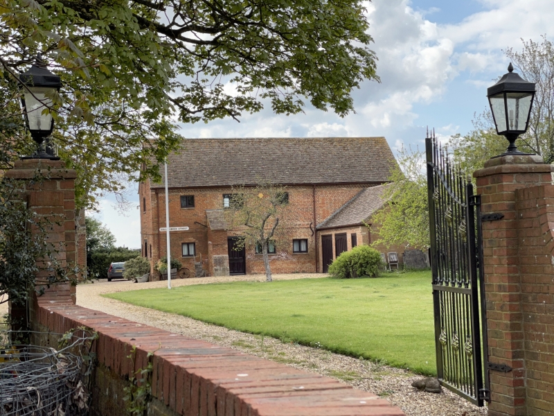
Stable building to north
of No 28 (formerly listed
as barn to north-west of
Manor House)
TL 37 NW 4/4 24.10.51
II GV
2.
Early Cl7. Red brick. Plain tiled.
Listing NGR: TL3023779912
External links are from the relevant listing authority and, where applicable, Wikidata. Wikidata IDs may be related buildings as well as this specific building. If you want to add or update a link, you will need to do so by editing the Wikidata entry.


Other nearby listed buildings
