Approximate Location Map
Large Map »
Latitude: 51.1346 / 51°8'4"N
Longitude: 1.2987 / 1°17'55"E
OS Eastings: 630870
OS Northings: 142430
OS Grid: TR308424
Mapcode National: GBR W1F.Z04
Mapcode Global: VHLHB.GRD3
Plus Code: 9F3347MX+RF
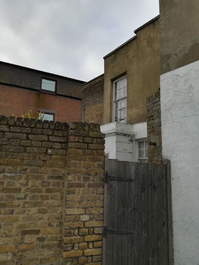
Entry Name: 229, London Road
Listing Date: 17 December 1973
Grade: II
Source: Historic England
Source ID: 1145846
English Heritage Legacy ID: 177787
ID on this website: 101145846
Location: St Radigund's, Dover, Kent, CT17
County: Kent
District: Dover
Civil Parish: Dover
Built-Up Area: Dover
Traditional County: Kent
Lieutenancy Area (Ceremonial County): Kent
Tagged with: Building
LONDON ROAD
1. (South West Side)
1050
No 229
TR 3042 4/123
II
2.
(Formerly Coachworks)
Mid C19 portion of 2 storeys flint-faced with red brick stringcourses. Some
cambered sashes. Some continuous glazing. Weatherboarded portion of 2 storeys
with continuous glazing.
Listing NGR: TR3087042430
External links are from the relevant listing authority and, where applicable, Wikidata. Wikidata IDs may be related buildings as well as this specific building. If you want to add or update a link, you will need to do so by editing the Wikidata entry.


Other nearby listed buildings
