Approximate Location Map
Large Map »
Latitude: 50.5418 / 50°32'30"N
Longitude: -4.9382 / 4°56'17"W
OS Eastings: 191907
OS Northings: 75456
OS Grid: SW919754
Mapcode National: GBR ZM.YVFW
Mapcode Global: FRA 07JM.RXY
Plus Code: 9C2QG3R6+PP
Entry Name: Harbour Walls Comprising Walls to South of North Quay, to East of the Strand and to North of South Quay, Slips and Pier on North East of South Quay
Listing Date: 20 May 1988
Grade: II
Source: Historic England
Source ID: 1211797
English Heritage Legacy ID: 396313
ID on this website: 101211797
Location: Padstow, Cornwall, PL28
County: Cornwall
Civil Parish: Padstow
Built-Up Area: Padstow
Traditional County: Cornwall
Lieutenancy Area (Ceremonial County): Cornwall
Church of England Parish: Padstow
Church of England Diocese: Truro
Tagged with: Wall
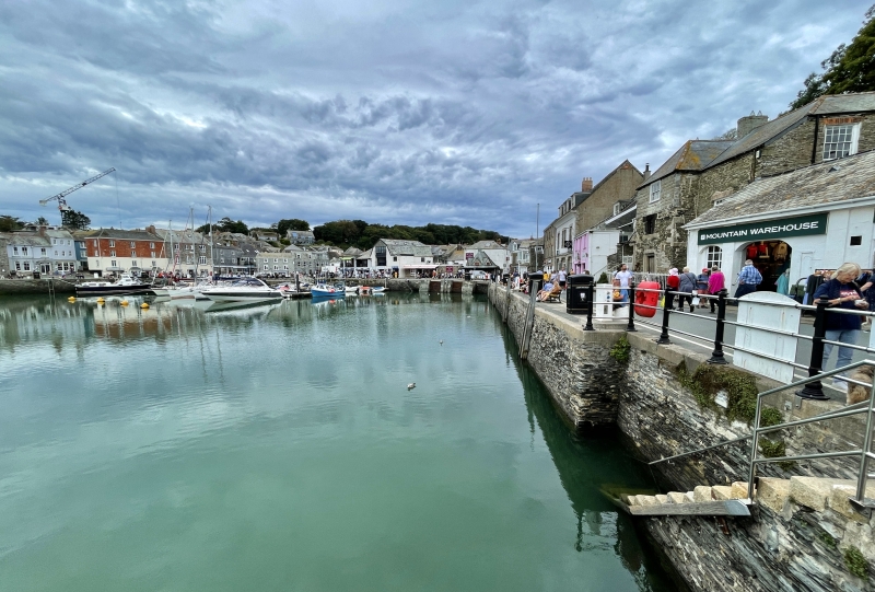
PADSTOW HARBOUR, Padstow
SW 9075-9175
8/81 Harbour walls comprising walls to
south of North Quay, to east of the
Strand and to north of South Quay,
slips and pier on north east of
South Quay
GV II
Harbour walls. Gradually built up after the construction of the north pier (qv) in
circa 1534. The harbour was deepened and the piers rebuilt in circa 1854. Slate
stone rubble walls laid in horizontal and vertical courses in front of the South
Quay, the Strand and the North Quay with slipways on the south, south west and north.
The south pier extends northwards from the South Quay and the north or jetty pier
(not included in listing) was added in 1931 in reinforced concrete and stone rubble.
The port of Padstow was already of some importance in the C13 and C14. In 1584
Norden described it as 'the best haven on the north part of the shyre' and in 1602
Carew wrote of Padstow 'a town and haven of suitable quality for both (though bad)
are the best that the north Cornish coast possesseth'. During the C16 the chief
exports were fish, tin and west country cloth and during the C17 slates were of
considerable importance.
Access to the port was considerably aided in 1829 when the Padstow Harbour
Association was formed to improve the entrance, setting up the Capstans at Stepper
Point and in 1844 the Padstow Harbour Commission was established to regulate and
improve the harbour.
Rawe, D and Ingrey, J Padstow and District. 1984
Listing NGR: SW9190775456
External links are from the relevant listing authority and, where applicable, Wikidata. Wikidata IDs may be related buildings as well as this specific building. If you want to add or update a link, you will need to do so by editing the Wikidata entry.


Other nearby listed buildings
