Approximate Location Map
Large Map »
Latitude: 51.3586 / 51°21'30"N
Longitude: 1.4256 / 1°25'32"E
OS Eastings: 638589
OS Northings: 167738
OS Grid: TR385677
Mapcode National: GBR X07.M8Q
Mapcode Global: VHMCW.N3JV
Plus Code: 9F339C5G+C7
Entry Name: Little Upton
Listing Date: 20 September 1974
Grade: II
Source: Historic England
Source ID: 1222986
English Heritage Legacy ID: 418500
ID on this website: 101222986
Location: Upton, Thanet, Kent, CT10
County: Kent
District: Thanet
Civil Parish: Broadstairs and St. Peters
Built-Up Area: Broadstairs
Traditional County: Kent
Lieutenancy Area (Ceremonial County): Kent
Tagged with: Architectural structure
VALE ROAD
1.
5283
(North Side)
UPTON
Little Upton
TR 36 NE 5/25
II GV
2.
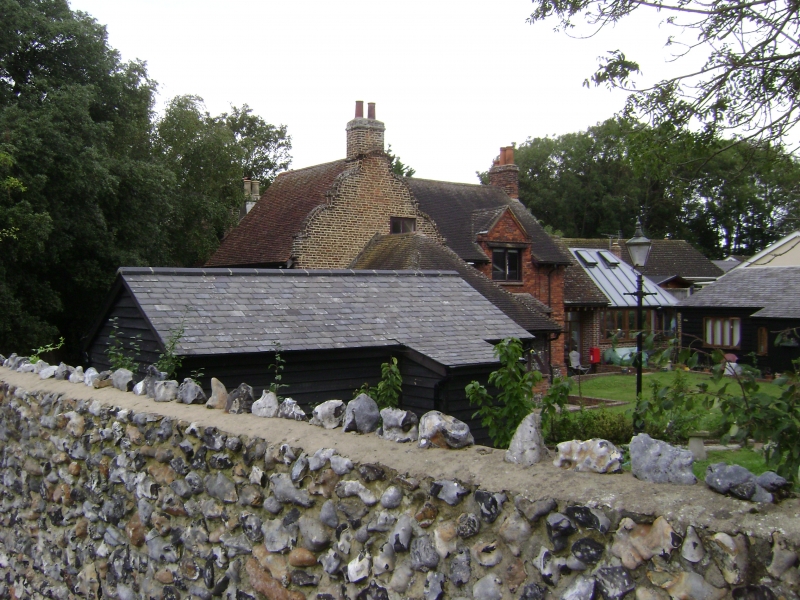
Late C17. 2 storeys red brick. Built in 2 sections with different roof levels.
Shaped Dutch gable facing east. 2 modern casement windows. 2 storey extension
to rear in red brick in matching style. Tile-hung dormer. Modern casement windows.
Nos 5 & 6 (Upton Cottage) and Little Upton form a group.
Listing NGR: TR3858967738
External links are from the relevant listing authority and, where applicable, Wikidata. Wikidata IDs may be related buildings as well as this specific building. If you want to add or update a link, you will need to do so by editing the Wikidata entry.


Other nearby listed buildings
