Approximate Location Map
Large Map »
Latitude: 52.0538 / 52°3'13"N
Longitude: 1.1599 / 1°9'35"E
OS Eastings: 616743
OS Northings: 244206
OS Grid: TM167442
Mapcode National: GBR VP7.627
Mapcode Global: VHLBT.2M1W
Plus Code: 9F433535+GX
Entry Name: 44, Fore Street
Listing Date: 15 December 1977
Grade: II
Source: Historic England
Source ID: 1236619
English Heritage Legacy ID: 427452
ID on this website: 101236619
Location: Ipswich, Suffolk, IP4
County: Suffolk
District: Ipswich
Electoral Ward/Division: Alexandra
Parish: Non Civil Parish
Built-Up Area: Ipswich
Traditional County: Suffolk
Lieutenancy Area (Ceremonial County): Suffolk
Church of England Parish: Ipswich St Mary-le-Tower
Church of England Diocese: St.Edmundsbury and Ipswich
Tagged with: Building
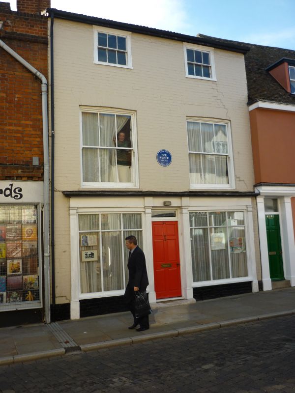
FORE STREET
1.
5379 (South-West Side)
No 44
TM 1644 SE 4/424
II GV
2.
An early C19 brick building (painted). 3 storeys. 2 window range, double-hung
sashes with vertical glazing bars. The ground storey has a C19-C20 shop front.
Roof tiled (C20).
Listing NGR: TM1674344206
External links are from the relevant listing authority and, where applicable, Wikidata. Wikidata IDs may be related buildings as well as this specific building. If you want to add or update a link, you will need to do so by editing the Wikidata entry.


Other nearby listed buildings
