Approximate Location Map
Large Map »
Latitude: 51.2164 / 51°12'59"N
Longitude: 1.2957 / 1°17'44"E
OS Eastings: 630255
OS Northings: 151520
OS Grid: TR302515
Mapcode National: GBR W0G.QDK
Mapcode Global: VHLGY.DPVC
Plus Code: 9F33678W+H7
Entry Name: St Marys Grove
Listing Date: 24 March 1987
Grade: II
Source: Historic England
Source ID: 1247717
English Heritage Legacy ID: 429050
ID on this website: 101247717
Location: Tilmanstone, Dover, Kent, CT14
County: Kent
District: Dover
Civil Parish: Tilmanstone
Traditional County: Kent
Lieutenancy Area (Ceremonial County): Kent
Tagged with: Architectural structure
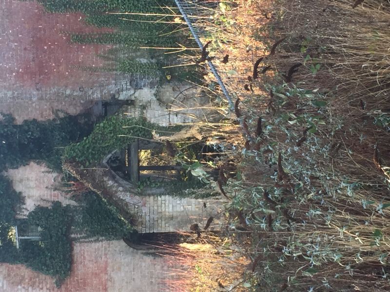
TILMANSTONE ST. MARY'S GROVE
TR 35 SW (North side)
4/110 St. Mary's Grove
GV II
House. Late C17. Red brick, in part painted, the gables on side elevations
tile hung, with plain tiled roof. One storey and attic on plinth, with
shaped gabled roof with stacks at end left and at end right, with 2 gabled
dormers. Two metal casements on ground floor with boarded door to right in
gabled porch, with moulded four centred arched outer doorway. Single storey.
contemporary rear wing.
Listing NGR: TR3040051400
External links are from the relevant listing authority and, where applicable, Wikidata. Wikidata IDs may be related buildings as well as this specific building. If you want to add or update a link, you will need to do so by editing the Wikidata entry.


Other nearby listed buildings
