Approximate Location Map
Large Map »
Latitude: 50.8356 / 50°50'8"N
Longitude: -0.5764 / 0°34'35"W
OS Eastings: 500340
OS Northings: 104968
OS Grid: TQ003049
Mapcode National: GBR FJC.K30
Mapcode Global: FRA 96PW.M7T
Plus Code: 9C2XRCPF+6C
Entry Name: Manor Farmhouse
Listing Date: 5 June 1958
Grade: II
Source: Historic England
Source ID: 1274879
English Heritage Legacy ID: 413990
ID on this website: 101274879
Location: Tortington, Arun, West Sussex, BN18
County: West Sussex
District: Arun
Civil Parish: Arundel
Traditional County: Sussex
Lieutenancy Area (Ceremonial County): West Sussex
Church of England Parish: Arundel St Nicholas with Tortington
Church of England Diocese: Chichester
Tagged with: Farmhouse
TQ OOSW TORTINGTON FORD ROAD
16/331
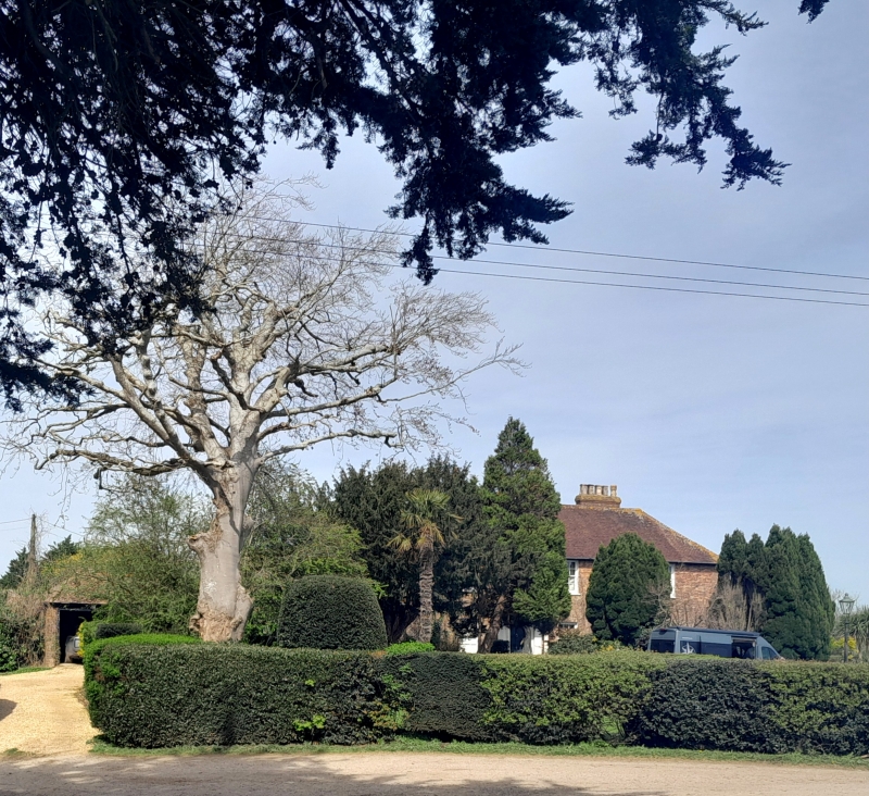
5.6.58 Manor Farmhouse
II
L-shaped C18 house. Two storeys. Three windows. Red brick. Tiled roof. Glazing
bars intact. Stuccoed doorway with pilasters and projecting cornice.
Listing NGR: TQ0034004968
External links are from the relevant listing authority and, where applicable, Wikidata. Wikidata IDs may be related buildings as well as this specific building. If you want to add or update a link, you will need to do so by editing the Wikidata entry.


Other nearby listed buildings
