Approximate Location Map
Large Map »
Latitude: 52.4534 / 52°27'12"N
Longitude: -0.8754 / 0°52'31"W
OS Eastings: 476519
OS Northings: 284534
OS Grid: SP765845
Mapcode National: GBR BSS.1J9
Mapcode Global: VHDR0.SL2K
Plus Code: 9C4XF43F+9R
Entry Name: The Bridge
Listing Date: 31 January 1991
Grade: II
Source: Historic England
Source ID: 1289122
English Heritage Legacy ID: 397900
ID on this website: 101289122
Location: Braybrooke, North Northamptonshire, LE16
County: North Northamptonshire
Civil Parish: Braybrooke
Built-Up Area: Braybrooke
Traditional County: Northamptonshire
Lieutenancy Area (Ceremonial County): Northamptonshire
Church of England Parish: Braybrooke All Saints
Church of England Diocese: Peterborough
BRAYBROOKE DESBOROUGH ROAD
SP 78 SE
2/1
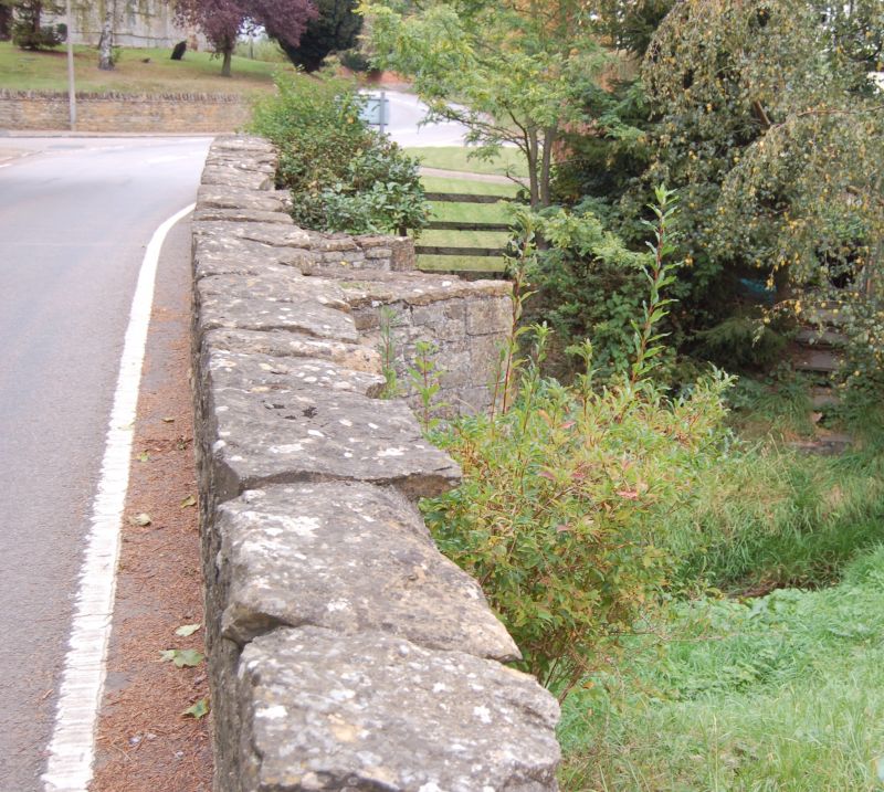
The Bridge
GV
II
Road Bridge. Built c 1400 for Sir Thomas Latimer. Parapets renewed C20.
Squared ironstone with limestone dressings. East side has 2 chamfered
pointed arches with 2 large cutwaters. Plain rubble parapets have rough
slab copings.
Listing NGR: SP7651984534
External links are from the relevant listing authority and, where applicable, Wikidata. Wikidata IDs may be related buildings as well as this specific building. If you want to add or update a link, you will need to do so by editing the Wikidata entry.


Other nearby listed buildings
