Approximate Location Map
Large Map »
Latitude: 51.0065 / 51°0'23"N
Longitude: -2.1949 / 2°11'41"W
OS Eastings: 386422
OS Northings: 123027
OS Grid: ST864230
Mapcode National: GBR 1XH.XK1
Mapcode Global: FRA 669G.6PZ
Plus Code: 9C3V2R44+H2
Entry Name: 54, High Street
Listing Date: 15 October 1973
Grade: II
Source: Historic England
Source ID: 1324779
English Heritage Legacy ID: 102064
ID on this website: 101324779
Location: Shaftesbury, Dorset, SP7
County: Dorset
Civil Parish: Shaftesbury
Built-Up Area: Shaftesbury
Traditional County: Dorset
Lieutenancy Area (Ceremonial County): Dorset
Church of England Parish: Shaftesbury St Peter
Church of England Diocese: Salisbury
Tagged with: Building
1.
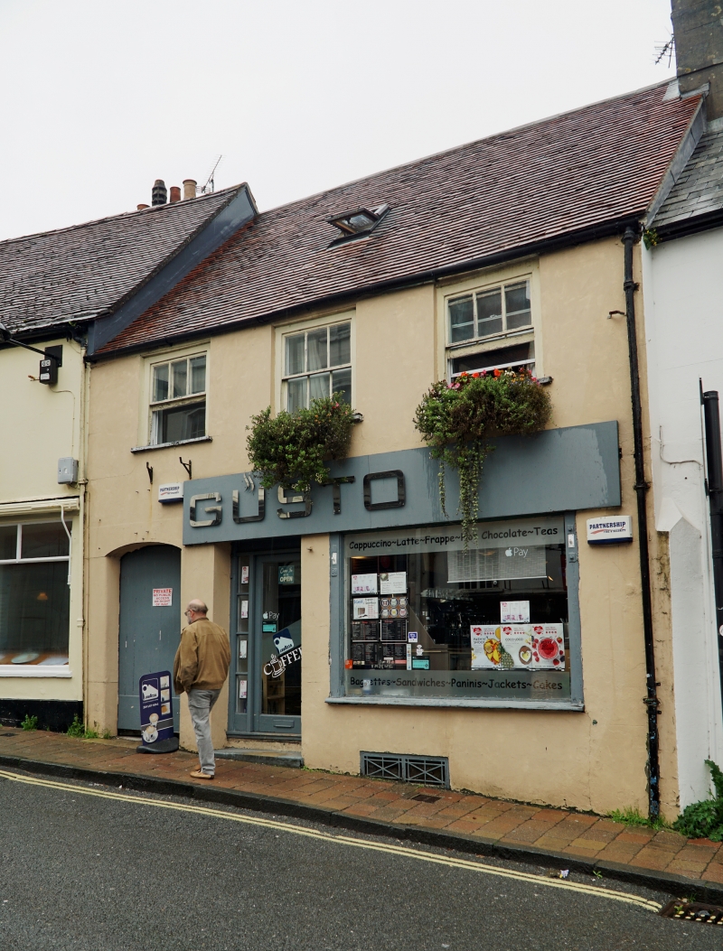
1615 HIGH STREET
(North Side)
No 54
ST 8623 1/186
II GV
2.
Early C19. 2 storeys. 3 windows. Plain tile gabled roof. Stuccoed front.
Small sash windows on ground floor, small shop window and doorway under
moulded cornice. Doorway with elliptical arch to left hand.
Nos 48 to 54 (even) and No54A form a group.
Listing NGR: ST8642223027
External links are from the relevant listing authority and, where applicable, Wikidata. Wikidata IDs may be related buildings as well as this specific building. If you want to add or update a link, you will need to do so by editing the Wikidata entry.


Other nearby listed buildings
