Approximate Location Map
Large Map »
Latitude: 51.6968 / 51°41'48"N
Longitude: -0.606 / 0°36'21"W
OS Eastings: 496442
OS Northings: 200701
OS Grid: SP964007
Mapcode National: GBR F5W.HMP
Mapcode Global: VHFS9.GM03
Plus Code: 9C3XM9WV+PJ
Entry Name: Lord's Mill Barn
Listing Date: 7 September 1973
Grade: II
Source: Historic England
Source ID: 1332618
English Heritage Legacy ID: 43610
ID on this website: 101332618
Location: Waterside, Buckinghamshire, HP5
County: Buckinghamshire
Civil Parish: Chesham
Built-Up Area: Chesham
Traditional County: Buckinghamshire
Lieutenancy Area (Ceremonial County): Buckinghamshire
Church of England Parish: Great Chesham
Church of England Diocese: Oxford
Tagged with: Barn
MOOR ROAD
1.
967
(South West Side)
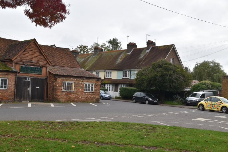
Lord's Mill Barn
SP 90 SE 5/111
II GV
2.
C17 or earlier. Timber frame, weatherboarding, tiled roof. Included for
group value.
Lord's Mill and Lord's Mill House and barn from a group.
Listing NGR: SP9644200701
External links are from the relevant listing authority and, where applicable, Wikidata. Wikidata IDs may be related buildings as well as this specific building. If you want to add or update a link, you will need to do so by editing the Wikidata entry.


Other nearby listed buildings
