Approximate Location Map
Large Map »
Latitude: 50.8294 / 50°49'45"N
Longitude: -0.4856 / 0°29'8"W
OS Eastings: 506747
OS Northings: 104407
OS Grid: TQ067044
Mapcode National: GBR GKT.XQR
Mapcode Global: FRA 96WX.0M6
Plus Code: 9C2XRGH7+PP
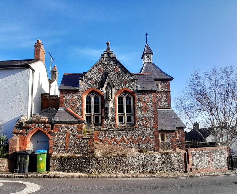
Entry Name: School House
Listing Date: 20 September 1984
Grade: II
Source: Historic England
Source ID: 1353836
English Heritage Legacy ID: 297703
ID on this website: 101353836
Location: Angmering, Arun, West Sussex, BN16
County: West Sussex
District: Arun
Civil Parish: Angmering
Built-Up Area: Littlehampton
Traditional County: Sussex
Lieutenancy Area (Ceremonial County): West Sussex
Church of England Parish: Angmering Saint Margaret with Ham and Bargham
Church of England Diocese: Chichester
Tagged with: House
TQ 0604
25/64
ANGMERING
ARUNDEL ROAD
(east side)
School House
GV
II
Early C19. L-shaped cottage. Two storeys. Three windows. Stuccoed, the west wing,
which was probably part of Church House originally, red brick. Slate roof. Glazing
bars intact. Included for group value.
Listing NGR: TQ0674704407
External links are from the relevant listing authority and, where applicable, Wikidata. Wikidata IDs may be related buildings as well as this specific building. If you want to add or update a link, you will need to do so by editing the Wikidata entry.


Other nearby listed buildings
