Approximate Location Map
Large Map »
Latitude: 50.7944 / 50°47'40"N
Longitude: -0.8276 / 0°49'39"W
OS Eastings: 482725
OS Northings: 100086
OS Grid: SU827000
Mapcode National: GBR DH9.1L5
Mapcode Global: FRA 964Z.Z9C
Plus Code: 9C2XQ5VC+QX
Entry Name: The Birdham Public House
Listing Date: 15 March 1985
Grade: II
Source: Historic England
Source ID: 1354457
English Heritage Legacy ID: 300588
ID on this website: 101354457
Location: Birdham, Chichester, West Sussex, PO20
County: West Sussex
District: Chichester
Civil Parish: Birdham
Built-Up Area: Birdham
Traditional County: Sussex
Lieutenancy Area (Ceremonial County): West Sussex
Church of England Parish: Birdham St James with West Itchenor
Church of England Diocese: Chichester
Tagged with: Pub
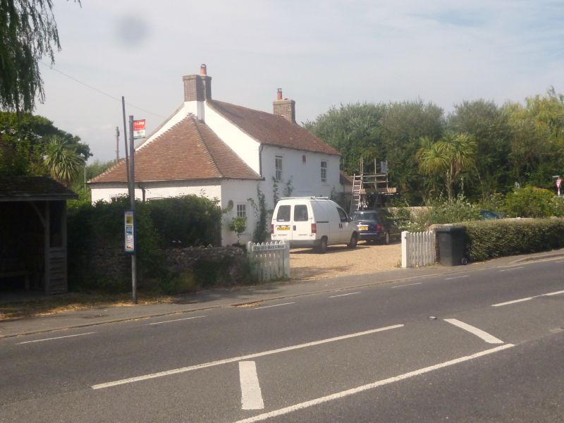
BIRDHAM CHURCH LANE
SU 80 SW
16/663 The Birdham Public House
15.3.85
- II
Early C19. Two storeys. Two windows. Stuccoed. Brick modillion eaves
cornice. Tiled roof. Glazing bars intact. Modern gabled porch.
Listing NGR: SU8272500086
External links are from the relevant listing authority and, where applicable, Wikidata. Wikidata IDs may be related buildings as well as this specific building. If you want to add or update a link, you will need to do so by editing the Wikidata entry.


Other nearby listed buildings
