Approximate Location Map
Large Map »
Latitude: 56.577 / 56°34'37"N
Longitude: -2.5901 / 2°35'24"W
OS Eastings: 363842
OS Northings: 742936
OS Grid: NO638429
Mapcode National: GBR VV.MNDF
Mapcode Global: WH8S2.5YVD
Plus Code: 9C8VHCG5+QW
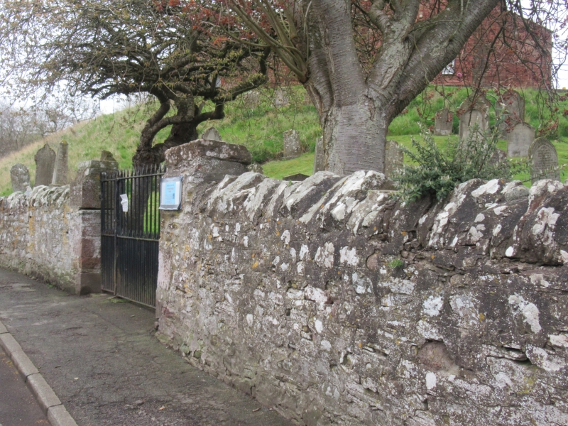
Entry Name: Churchyard Walls, St Vigeans Parish Church
Listing Name: Kirkyard Walls
Listing Date: 11 June 1971
Category: B
Source: Historic Scotland
Source ID: 336067
Historic Scotland Designation Reference: LB4771
Building Class: Cultural
ID on this website: 200336067
Location: Arbroath and St Vigeans
County: Angus
Electoral Ward: Arbroath West, Letham and Friockheim
Parish: Arbroath And St Vigeans
Traditional County: Angus
Tagged with: Architectural structure
Rubble retaining walls, rebuilt and heightened various
dates.
External links are from the relevant listing authority and, where applicable, Wikidata. Wikidata IDs may be related buildings as well as this specific building. If you want to add or update a link, you will need to do so by editing the Wikidata entry.


Other nearby listed buildings
