Approximate Location Map
Large Map »
Latitude: 55.955 / 55°57'18"N
Longitude: -2.7742 / 2°46'27"W
OS Eastings: 351753
OS Northings: 673824
OS Grid: NT517738
Mapcode National: GBR 2S.XSST
Mapcode Global: WH7TY.CL55
Plus Code: 9C7VX64G+28
Entry Name: 4, 5, 6, 7 St Ann's Place, Haddington
Listing Name: 2-7 St Ann's Place
Listing Date: 5 December 1977
Category: B
Source: Historic Scotland
Source ID: 378627
Historic Scotland Designation Reference: LB34383
Building Class: Cultural
ID on this website: 200378627
Location: Haddington
County: East Lothian
Town: Haddington
Electoral Ward: Haddington and Lammermuir
Traditional County: East Lothian
Tagged with: Architectural structure
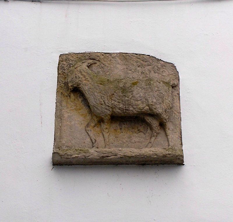
John A W Grant, architect, circa 1960; 2-storey block closing
off Church Street with pend; previous building became
derelict after 1948 flood; rendered with slated roof; rubble
wing; bas-relief of a goat eating grapes (the Haddington coat
of arms) above pend, to Church Street.
External links are from the relevant listing authority and, where applicable, Wikidata. Wikidata IDs may be related buildings as well as this specific building. If you want to add or update a link, you will need to do so by editing the Wikidata entry.


Other nearby listed buildings
