Approximate Location Map
Large Map »
Latitude: 51.8133 / 51°48'47"N
Longitude: -2.7101 / 2°42'36"W
OS Eastings: 351145
OS Northings: 212979
OS Grid: SO511129
Mapcode National: GBR FL.WVTJ
Mapcode Global: VH86T.ZP49
Plus Code: 9C3VR77Q+8X
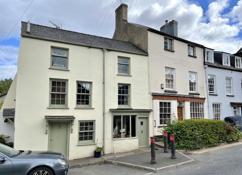
Entry Name: 5, Old Dixton Road
Listing Date: 10 August 2005
Last Amended: 10 August 2005
Grade: II
Source: Cadw
Source ID: 85134
Building Class: Domestic
ID on this website: 300085134
Location: On the historic north and east entry to the town, but now a cul-de-sac.
County: Monmouthshire
Town: Monmouth
Community: Monmouth (Trefynwy)
Community: Monmouth
Built-Up Area: Monmouth
Traditional County: Monmouthshire
Tagged with: Building
Apparently early C19, but the battered walling suggests an earlier fabric.
Interior not seen at resurvey.
Included for its special interest as part of a group of historic buildings leading away from the town gate.
External links are from the relevant listing authority and, where applicable, Wikidata. Wikidata IDs may be related buildings as well as this specific building. If you want to add or update a link, you will need to do so by editing the Wikidata entry.


Other nearby listed buildings
