Approximate Location Map
Large Map »
Latitude: 51.0072 / 51°0'26"N
Longitude: -2.1955 / 2°11'43"W
OS Eastings: 386376
OS Northings: 123112
OS Grid: ST863231
Mapcode National: GBR 1XH.XBB
Mapcode Global: FRA 669G.0H1
Plus Code: 9C3V2R43+VQ
Entry Name: Boundary Wall Extending North East from No 32 As Far As No 36
Listing Date: 15 October 1973
Grade: II
Source: Historic England
Source ID: 1108752
English Heritage Legacy ID: 101970
ID on this website: 101108752
Location: Shaftesbury, Dorset, SP7
County: Dorset
Civil Parish: Shaftesbury
Built-Up Area: Shaftesbury
Traditional County: Dorset
Lieutenancy Area (Ceremonial County): Dorset
Church of England Parish: Shaftesbury St Peter
Church of England Diocese: Salisbury
Tagged with: Wall
1.
1615 BELL STREET
(North Side)
Boundary wall extending
North East from No 32
as far as No 36
ST 8623 1/21B
II
2.
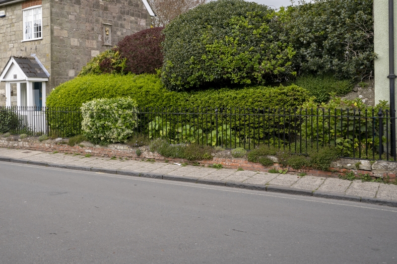
Wall of greenish stone rubble extending from little gate to North-east
of No 32 as far as No 36.
Listing NGR: ST8637623112
External links are from the relevant listing authority and, where applicable, Wikidata. Wikidata IDs may be related buildings as well as this specific building. If you want to add or update a link, you will need to do so by editing the Wikidata entry.


Other nearby listed buildings
