Approximate Location Map
Large Map »
Latitude: 50.9504 / 50°57'1"N
Longitude: -2.5177 / 2°31'3"W
OS Eastings: 363728
OS Northings: 116900
OS Grid: ST637169
Mapcode National: GBR MT.NKXR
Mapcode Global: FRA 56ML.LYQ
Plus Code: 9C2VXF2J+5W
Entry Name: St Michael
Listing Date: 30 November 1971
Grade: II
Source: Historic England
Source ID: 1324357
English Heritage Legacy ID: 103957
ID on this website: 101324357
Location: Sherborne, Dorset, DT9
County: Dorset
Civil Parish: Sherborne
Built-Up Area: Sherborne
Traditional County: Dorset
Lieutenancy Area (Ceremonial County): Dorset
Church of England Parish: Sherborne with Castleton Abbey Church of St Mary
Church of England Diocese: Salisbury
Tagged with: Architectural structure Thatched cottage
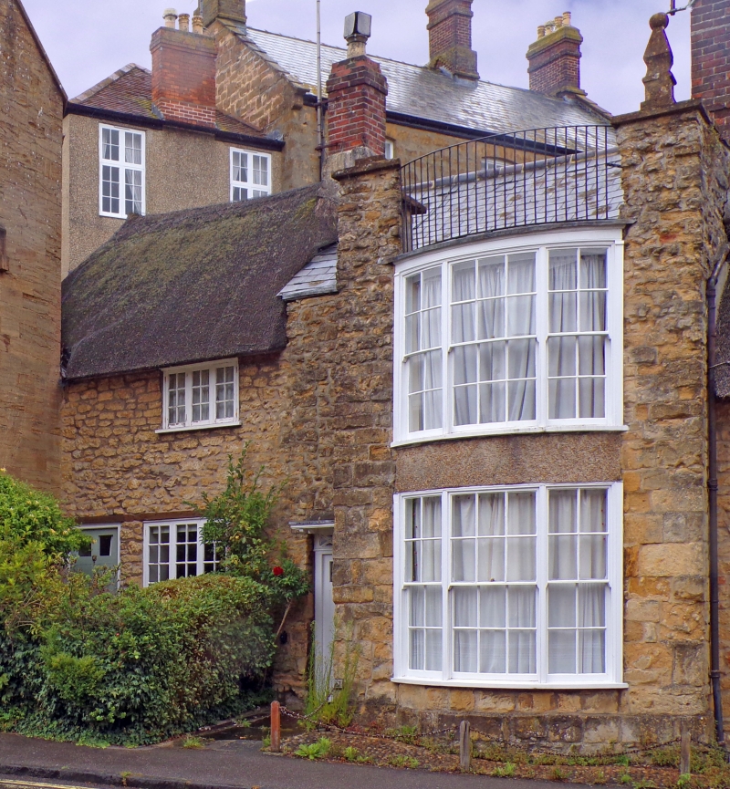
THE GREEN
1.
1625
(North Side)
St Michael
ST 6316 1/86 30.11.71.
II GV
2.
C18 or earlier . Small 2 storey cottage with colour-washed stone front.
and thatched roof. Door in plain reveal. Two 3-light casement windows.
The listed buildings on the North Side of The Green (with The Cottage adjoining
The Green) form a group.
Listing NGR: ST6372816900
External links are from the relevant listing authority and, where applicable, Wikidata. Wikidata IDs may be related buildings as well as this specific building. If you want to add or update a link, you will need to do so by editing the Wikidata entry.


Other nearby listed buildings
