Approximate Location Map
Large Map »
Latitude: 50.7093 / 50°42'33"N
Longitude: -2.4443 / 2°26'39"W
OS Eastings: 368721
OS Northings: 90058
OS Grid: SY687900
Mapcode National: GBR PY.5ZZ7
Mapcode Global: FRA 57R6.KK5
Plus Code: 9C2VPH54+P7
Entry Name: Gate Piers to Church of St Mary
Listing Date: 8 May 1975
Grade: II
Source: Historic England
Source ID: 1324437
English Heritage Legacy ID: 104256
ID on this website: 101324437
Location: St Mary's Church, Dorchester, Dorset, DT1
County: Dorset
Civil Parish: Dorchester
Built-Up Area: Dorchester
Traditional County: Dorset
Lieutenancy Area (Ceremonial County): Dorset
Church of England Parish: Dorchester and West Stafford
Church of England Diocese: Salisbury
Tagged with: Gatepost
EDWARD ROAD
1.
5l91
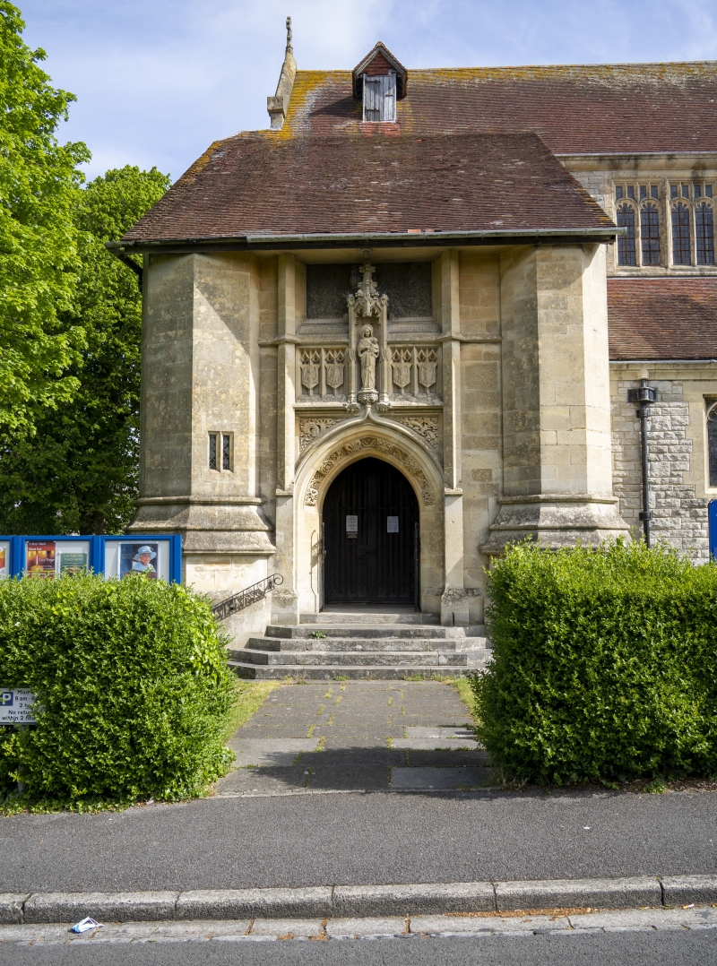
Gate piers to Church
of St Mary's,
West Fordington
SY 6890 7/172
II
2.
Presumably 1910-2. Wood. Tops have spirelets and 4 diagonally placed "buttresses":
if of this date, an advanced design.
Listing NGR: SY6872190058
External links are from the relevant listing authority and, where applicable, Wikidata. Wikidata IDs may be related buildings as well as this specific building. If you want to add or update a link, you will need to do so by editing the Wikidata entry.


Other nearby listed buildings
