Approximate Location Map
Large Map »
Latitude: 50.7336 / 50°44'1"N
Longitude: -2.7572 / 2°45'26"W
OS Eastings: 346655
OS Northings: 92942
OS Grid: SY466929
Mapcode National: GBR PP.0C95
Mapcode Global: FRA 5734.PMW
Plus Code: 9C2VP6MV+F4
Entry Name: 15, East Street
Listing Date: 19 September 1975
Grade: II
Source: Historic England
Source ID: 1118997
English Heritage Legacy ID: 104509
ID on this website: 101118997
Location: Bridport, Dorset, DT6
County: Dorset
Civil Parish: Bridport
Built-Up Area: Bridport
Traditional County: Dorset
Lieutenancy Area (Ceremonial County): Dorset
Church of England Parish: Bridport St Mary
Church of England Diocese: Salisbury
Tagged with: Building
SY 4692
1/248
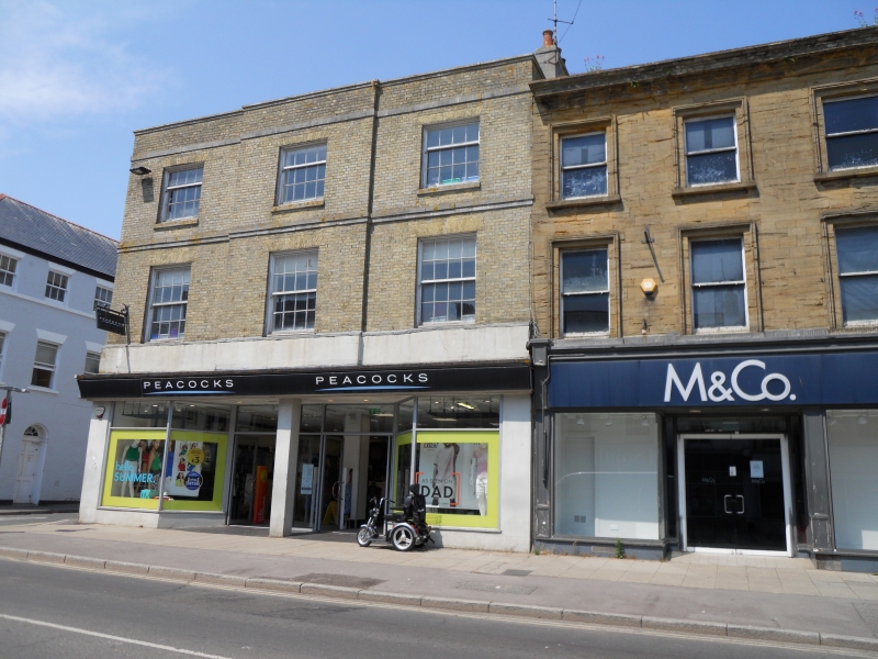
EAST STREET (North Side)
No 15
GV
II
Mid C19. Ashlar. Slate roof, hipped at west end, coped gable at east end. Ashlar stack. Three storeys. Moulded eaves cornice. Four ranges sashes with moulded surrounds. Early C20 shopfront.
Nos 9 to 15 (odd) form a group.
Listing NGR: SY4665892954
External links are from the relevant listing authority and, where applicable, Wikidata. Wikidata IDs may be related buildings as well as this specific building. If you want to add or update a link, you will need to do so by editing the Wikidata entry.


Other nearby listed buildings
