Approximate Location Map
Large Map »
Latitude: 54.7604 / 54°45'37"N
Longitude: -1.3064 / 1°18'22"W
OS Eastings: 444733
OS Northings: 540825
OS Grid: NZ447408
Mapcode National: GBR MF9D.ZB
Mapcode Global: WHD5Z.XL3Z
Plus Code: 9C6WQM6V+5F
Entry Name: Farmbuildings, 15 Metres North of Cotsford Grange Farmhouse
Listing Date: 11 October 1985
Grade: II
Source: Historic England
Source ID: 1311278
English Heritage Legacy ID: 109436
ID on this website: 101311278
Location: Horden, County Durham, SR8
County: County Durham
Civil Parish: Horden
Built-Up Area: Peterlee
Traditional County: Durham
Lieutenancy Area (Ceremonial County): County Durham
Church of England Parish: Horden
Church of England Diocese: Durham
Tagged with: Agricultural structure
NZ 44 SW HORDEN COTSFORD LANE
(West side)
2/24 Farmbuildings, 15 metres
north of Cotsford Grange
Farmhouse
GV II
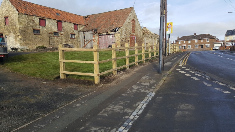
Farmbuildings now used for storage. Late C18-early C19. Limestone rubble with
dressed quoins; pantiled roofs. Much altered linked buildings: L-plan stable
and cartshed with granary to east and range of loose-boxes to north. Buildings,
of varying heights, have reversed crowstepped gables. 5-bay stable with hayloft
has altered openings, including 2 Dutch doors, under segmental brick heads; roof
has raised right verge. Truncated 2-storey, 2-bay cartshed has 3 segmental brick
arches and 2 boarded openings above. Gabled east return of lower 2-storey granary
has several blocked breathers and a large blocked segmental-arched opening with
a similar, smaller opening above. One-storey, 2-bay range of loose-boxes has
large C20 vehicle entrance in west wall. Interior of stable has 4 stalls with
shaped cast-iron partitions. One-storey addition to rear of loose-boxes not of
special interest.
Though altered, these farmbuildings are a picturesque and rare survival in the
midst of an extensively urbanised district.
Listing NGR: NZ4473340825
External links are from the relevant listing authority and, where applicable, Wikidata. Wikidata IDs may be related buildings as well as this specific building. If you want to add or update a link, you will need to do so by editing the Wikidata entry.


Other nearby listed buildings
