Approximate Location Map
Large Map »
Latitude: 54.5379 / 54°32'16"N
Longitude: -1.6741 / 1°40'26"W
OS Eastings: 421185
OS Northings: 515897
OS Grid: NZ211158
Mapcode National: GBR JHRZ.C2
Mapcode Global: WHC5V.862H
Plus Code: 9C6WG8QG+59
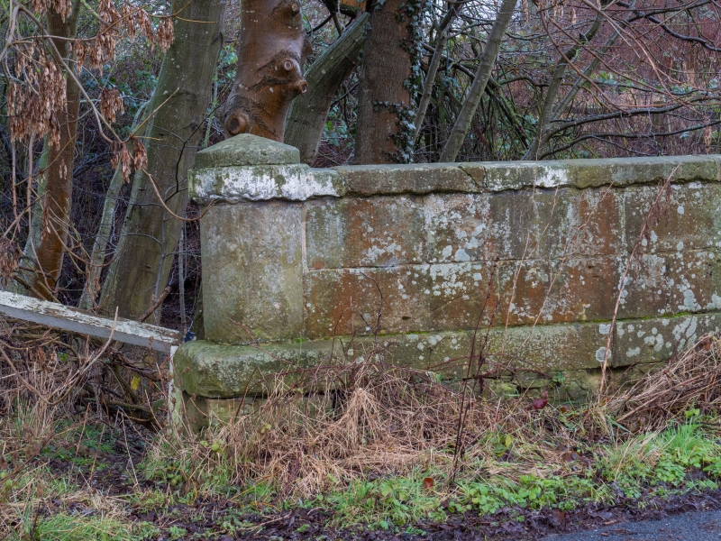
Entry Name: Carlbury Bridge
Listing Date: 16 July 1986
Grade: II
Source: Historic England
Source ID: 1320318
English Heritage Legacy ID: 110828
ID on this website: 101320318
Location: Carlbury, Darlington, County Durham, DL2
County: Darlington
Civil Parish: Piercebridge
Traditional County: Durham
Lieutenancy Area (Ceremonial County): County Durham
Church of England Parish: Coniscliffe
Church of England Diocese: Durham
Tagged with: Bridge
NZ 2115 PIERCEBRIDGE A67
(South side, off)
17/105 Carlbury Bridge
II
This bridge straddles the parishes of High Coniscliffe and Piercebridge
See entry for High Coniscliffe parish, A67 (South side, Off).
Listing NGR: NZ2118515897
External links are from the relevant listing authority and, where applicable, Wikidata. Wikidata IDs may be related buildings as well as this specific building. If you want to add or update a link, you will need to do so by editing the Wikidata entry.


Other nearby listed buildings
