Approximate Location Map
Large Map »
Latitude: 54.5956 / 54°35'43"N
Longitude: -2.0098 / 2°0'35"W
OS Eastings: 399463
OS Northings: 522263
OS Grid: NY994222
Mapcode National: GBR GHD9.PD
Mapcode Global: WHB45.3R6B
Plus Code: 9C6VHXWR+63
Entry Name: Beer Beck Low Bridge
Listing Date: 17 June 1986
Grade: II
Source: Historic England
Source ID: 1161040
English Heritage Legacy ID: 111332
ID on this website: 101161040
Location: Romaldkirk, County Durham, DL12
County: County Durham
Civil Parish: Romaldkirk
Traditional County: Yorkshire
Lieutenancy Area (Ceremonial County): County Durham
Tagged with: Bridge
ROMALDKIRK HUTCHINSON TERRACE
NY 9922 (South side, off)
29/160
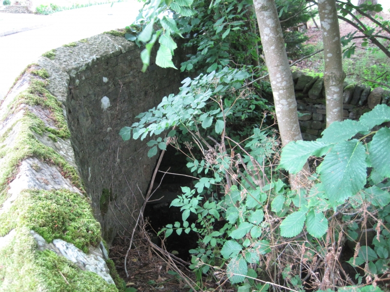
Beer Beck Low Bridge
II
Wide road bridge. Mid C18 with some later rebuilding. Squared rubble. Both
faces similar. Small segmental arch with flush voussoirs and projecting
keystone. Battered parapets with chamfered coping stones. 15.0-metre long
east parapet has splayed ends. 11.0-metre long west parapet has splayed north
end.
Later wall attached to south end of west parapet is not of special interest.
Listing NGR: NY9946622264
External links are from the relevant listing authority and, where applicable, Wikidata. Wikidata IDs may be related buildings as well as this specific building. If you want to add or update a link, you will need to do so by editing the Wikidata entry.


Other nearby listed buildings
