Approximate Location Map
Large Map »
Latitude: 51.6378 / 51°38'16"N
Longitude: -2.3553 / 2°21'18"W
OS Eastings: 375510
OS Northings: 193282
OS Grid: ST755932
Mapcode National: GBR 0MD.CB9
Mapcode Global: VH95G.4379
Plus Code: 9C3VJJQV+4V
Entry Name: 9, Haw Street
Listing Date: 23 June 1952
Grade: II
Source: Historic England
Source ID: 1088923
English Heritage Legacy ID: 128124
ID on this website: 101088923
Location: Wotton-under-Edge, Stroud, Gloucestershire, GL12
County: Gloucestershire
District: Stroud
Civil Parish: Wotton-under-Edge
Built-Up Area: Wotton-under-Edge
Traditional County: Gloucestershire
Lieutenancy Area (Ceremonial County): Gloucestershire
Church of England Parish: Wotton-under-Edge with Ozleworth
Church of England Diocese: Gloucester
Tagged with: Building
ST 7693
4/55 WOTTON-UNDER-EDGE HAW STREET
23.6.52 (west)
No. 9
GV
II
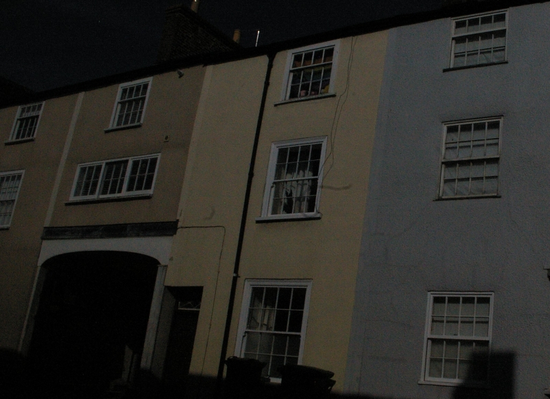
Dwelling. C18. Rendered, slate roof. Three storeys, one windowed new sashes. Six
panel door, fanlight with interlaced tracery.
Listing NGR: ST7551093282
External links are from the relevant listing authority and, where applicable, Wikidata. Wikidata IDs may be related buildings as well as this specific building. If you want to add or update a link, you will need to do so by editing the Wikidata entry.


Other nearby listed buildings
