Approximate Location Map
Large Map »
Latitude: 51.7454 / 51°44'43"N
Longitude: -2.2153 / 2°12'55"W
OS Eastings: 385229
OS Northings: 205211
OS Grid: SO852052
Mapcode National: GBR 1MK.JQQ
Mapcode Global: VH94Y.KD6B
Plus Code: 9C3VPQWM+5V
Entry Name: 25, Church Street
Listing Date: 1 May 1951
Last Amended: 25 June 1974
Grade: II
Source: Historic England
Source ID: 1340959
English Heritage Legacy ID: 131397
ID on this website: 101340959
Location: Stroud, Gloucestershire, GL5
County: Gloucestershire
District: Stroud
Civil Parish: Stroud
Built-Up Area: Stroud
Traditional County: Gloucestershire
Lieutenancy Area (Ceremonial County): Gloucestershire
Church of England Parish: Stroud St Laurence
Church of England Diocese: Gloucester
Tagged with: Building
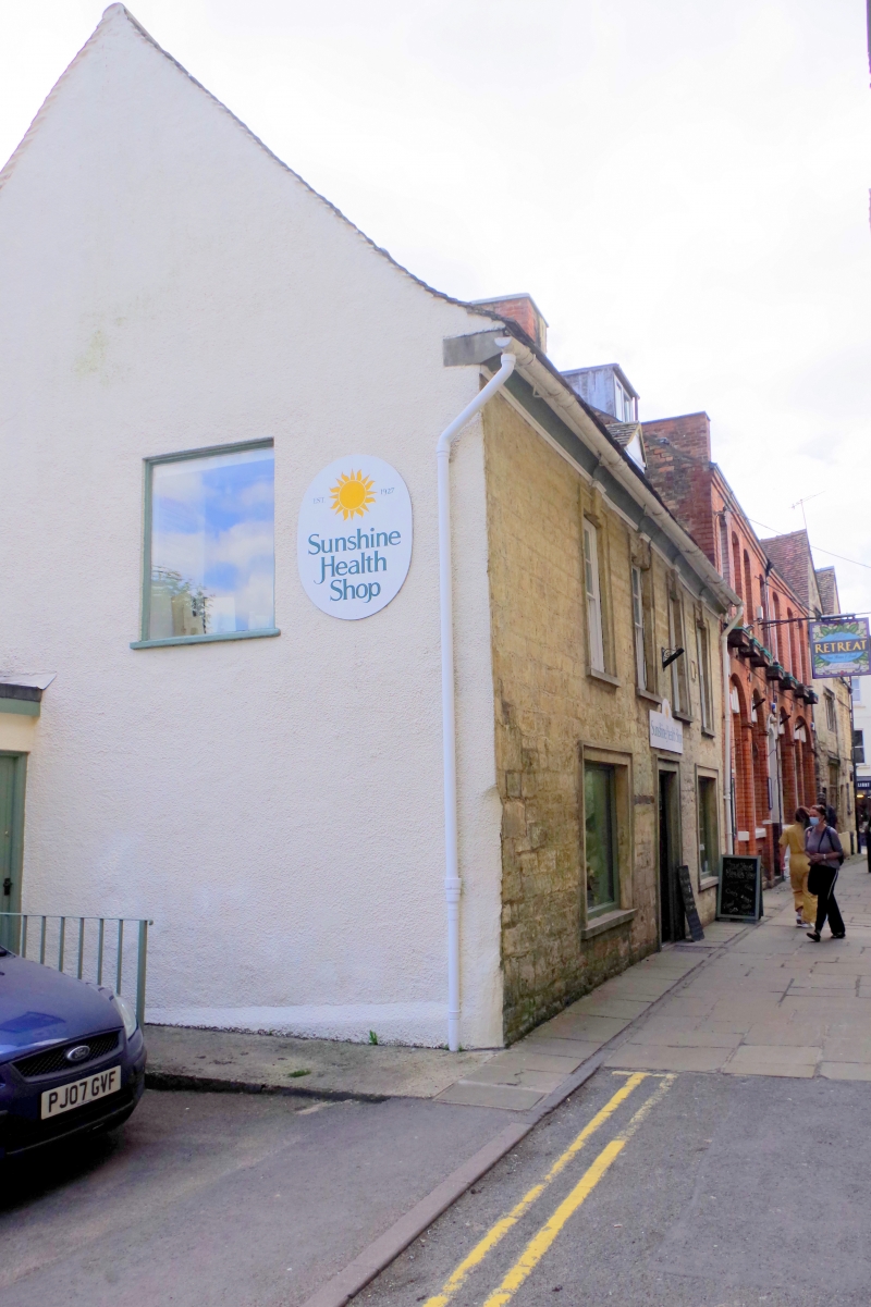
1. CHURCH STREET
5227
(East Side)
No 25
(Formerly listed as
Nos 24 & 25)
SO 8505 5/75 1.5.51.
II
2.
Dated 1766. Dressed stone. Pitched stone roof. 2 storeys. 4 ranges of double-hung
sash windows with glazing bars, moulded embrasures, keystones and bull-nosed
sills. Coved eaves cornice and bed-mould.
Listing NGR: SO8522905211
External links are from the relevant listing authority and, where applicable, Wikidata. Wikidata IDs may be related buildings as well as this specific building. If you want to add or update a link, you will need to do so by editing the Wikidata entry.


Other nearby listed buildings
