Approximate Location Map
Large Map »
Latitude: 51.2082 / 51°12'29"N
Longitude: -1.4769 / 1°28'36"W
OS Eastings: 436641
OS Northings: 145568
OS Grid: SU366455
Mapcode National: GBR 72R.5G7
Mapcode Global: VHC2S.CW3Q
Plus Code: 9C3W6G5F+77
Entry Name: 32 and 34, East Street
Listing Date: 24 June 1983
Grade: II
Source: Historic England
Source ID: 1264725
English Heritage Legacy ID: 139490
ID on this website: 101264725
Location: Andover, Test Valley, Hampshire, SP10
County: Hampshire
District: Test Valley
Civil Parish: Andover
Built-Up Area: Andover
Traditional County: Hampshire
Lieutenancy Area (Ceremonial County): Hampshire
Church of England Parish: Andover St Mary
Church of England Diocese: Winchester
Tagged with: Building
SU 3645 NE ANDOVER EAST STREET
4/32 Nos 32 and 34
GV II
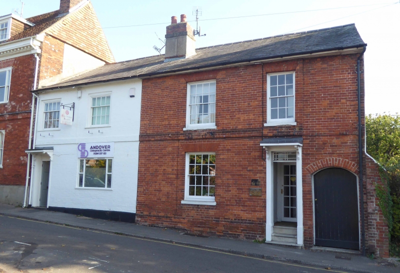
Formerly known as Nos 30 and 32. Early C19. Two storeys, 2.2 windows. Slate roof.
Brick walling (painted to 34), first floor band, rubbed flat arches, stone cills,
plinth; sashes in reveals to 32, casements in wider openings to 34. Doorways have
canopies on brackets. Included for group value.
Listing NGR: SU3664145565
External links are from the relevant listing authority and, where applicable, Wikidata. Wikidata IDs may be related buildings as well as this specific building. If you want to add or update a link, you will need to do so by editing the Wikidata entry.


Other nearby listed buildings
