Approximate Location Map
Large Map »
Latitude: 51.1406 / 51°8'26"N
Longitude: 1.3379 / 1°20'16"E
OS Eastings: 633584
OS Northings: 143219
OS Grid: TR335432
Mapcode National: GBR X2T.H2D
Mapcode Global: VHLHC.4LNH
Plus Code: 9F3348RQ+65
Entry Name: Buried Reserve and Pillbox, former Swingate Chain Home Radar Station
Listing Date: 13 July 2012
Grade: II
Source: Historic England
Source ID: 1405534
ID on this website: 101405534
Location: Dover, Kent, CT15
County: Kent
District: Dover
Civil Parish: St. Margaret's at Cliffe
Traditional County: Kent
Lieutenancy Area (Ceremonial County): Kent
Tagged with: Architectural structure
Buried Reserves (operational in July 1941) to the former Swingate Chain Home Radar Station, also defensive pillbox with a roof-mounted Light Anti-aircraft emplacement (the latter in situ by May 1942).
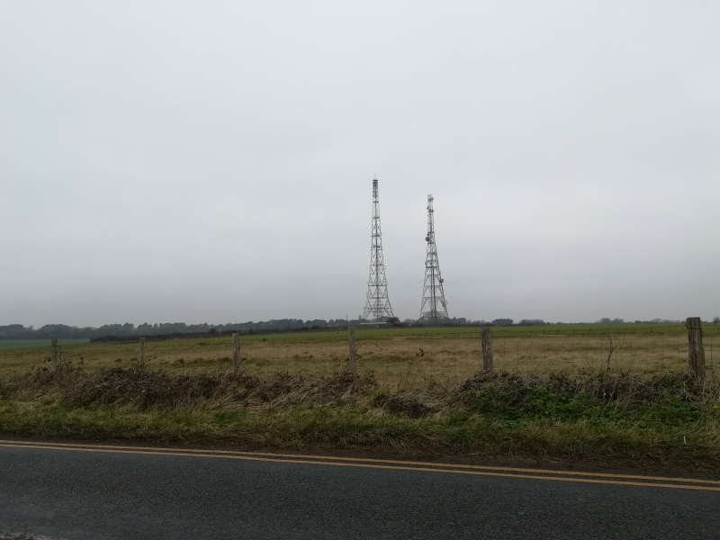
Swingate Radar Station is built on a prominent site above the cliffs about 2km to the north-east of Dover town, centred on grid reference TR 33680 43077. The site is large (approximately 21ha) and consists of a transmitter site, receiver site, and ancillary structures and features. The transmitter and receiver sites are separately listed.
BURIED RESERVE (buried reserves at TR 33587 43323, TR 33575 43213; tower bases at TR 33595 43313, TR 33594 43217)
The underground buried reserve receiver and transmitter chambers have been capped by the MoD for safety reasons but survive intact below ground. They are brick built chambers, one to house a transmitter and one to house a receiver. Buried reserves had access stairs at one end and an escape exit from the main operating room at the other end. They also housed a room containing air conditioning plant, a WC and a rest room for the operatives. Access from the staircase to the operations room was protected by a gas lock. Above ground the buried reserves appear as rectangular concrete pads. One such, for the southern buried reserve, has evidence of sliding rails presumably to allow the original entrance hatch to slide to one side to allow access. Each buried reserve had an associated tower (originally 120ft/36.5m high), the bases of which, in the form of four concrete feet for each tower, also survive. These are square in plan (c2m2) and retain a projecting steel fixing beam in the centre of each pad. The tower for the northern buried reserve is to its south-east, and that for the southern buried reserve is to its east.
PILLBOX (TR 33514 43275)
This is a pillbox of irregular hexagonal plan built of Stretcher bond yellow brick and reinforced concrete. On its roof is a broadly circular Light Anti-Aircraft Gun position, also in yellow brick. The entrance and embrasures have all been bricked up although their concrete lintels remain visible. The radar station is understood to have had a least one other pillbox for its defence but this no longer survives.
The principles behind radar were widely recognised by the 1930s, but British technicians were the first to translate the science – that an electromagnetic pulse reflected from an object betrays that object’s position to a receiver – into a practical means of defence. Following experimental work at Orfordness and Bawdsey Research Station in Suffolk (which became the prototype site for the Chain Home Defence System and where different components are listed Grade II and II*), radar developed through the initial Home Chain, a small group of stations in the extreme south-east of the country, to Chain Home Low, which filled the gaps in low-looking cover left by the original technology. Both were designed for raid reporting, passing information to a central operations room which in turn directed fighters to intercept enemy aircraft. This system was to prove vital during the Battle of Britain. Radar was then adapted during the Blitz of 1940-1 to incorporate a system of Ground Controlled Interception by which night fighters were controlled directly by each station rather than via a central operations room. A further addition in 1941 was Coast Defence/Chain Home Low, a low-cover coastal radar designed to detect surface shipping. Many stations were converted to new and more powerful equipment in 1942, known as Chain Home Extra Low. Finally, in 1943, Fighter Direction radar was developed to aid Fighter Command in their offensive sweeps over occupied Europe. Many radar stations were reused during the Cold War period for Rotor, a Cold War re-engineering of wartime radar equipment.
Swingate Chain Home Radar Station (also sometimes referred to as Dover Radar Station) was one of the earliest of the initial Home Chain of which there were eventually 32 sites nationally. It is believed to be the second built nationally after the experimental prototype station at Bawdsey. Radar sites of this early pre-war period were essentially divided in two with one part of the site housing receiver functions and the other transmitter functions. The layout of the receiver and transmitter buildings relative to their towers was different and therefore aids identification. The receiver towers were arranged in a broadly square plan with the receiver building at the centre, whereas the towers of the transmitter site were arranged in a line. Information would be passed to Fighter Group HQ at RAF Bentley Priory where enemy aircraft locations were plotted and a response was co-ordinated. With a range of approximately 150 miles above the ‘radar horizon’, Chain Home stations were a vital part of the country’s defence.
Work began at Swingate in 1936 and although substantially complete by May 1937 was finally completed in the summer of 1938 as part of the first group of five radar stations nationally. These had been planned in 1935 and developed between 1936-8 and were known as the Estuary Chain Home group (the others being the aforementioned Bawdsey site in Suffolk and new sites at Great Bromley in Essex, Canewdon and Dunkirk in Kent.) Until the permanent site was ready, temporary equipment was installed. The site, in common with other radar stations, would also have had a building to house the stand-by generator set house protected by a traverse. At Swingate this is believed to be located at grid reference TR 33683 42878 where concrete footings or capping can just be observed through heavy undergrowth. However, the vegetation has precluded a firm identification at the present time. A guard-hut would also have been the norm: the Swingate guard hut was at the entrance to the receiver site but does not survive. The buried reserve, an addition to sites planned in late 1939 to allow them to function in the event that the main station was bombed and out of action, was operational at Swingate from July 1941. A further development was the installation of an Identification Friend or Foe system (IFF, developed in 1939) to allow the site to differentiate between friendly and enemy aircraft. This was located in a small cubicle on the receiver site. In common with other south-eastern stations Swingate came under Fighter Command’s strategically important 11 Group (a division of Fighter Command covering London and the south-east). It was identified by the War Office as Vulnerable Point No 125, a site vulnerable to enemy attack, and therefore defensive structures were added. Dobinson (2000, 160) records that the Light Anti-aircraft gun was in situ on the buried reserve site by May 1942 and that there were three others installed to protect the site. Swingate also became one of the Gee Chain navigation stations, using a development of radar equipment, working to improve the accuracy of bombing raids in the early 1940s.
Some sources erroneously suggest that the site housed equipment in early 1940 as part of the Chain Home Low system, allowing the detection of lower-flying aircraft than Chain Home could detect. In fact the nearest CHL station was at Fan Bay approximately ¾ mile to the south-east. (Confusion arises as the name 'Swingate' is sometimes used for the radar station, and sometimes to refer to the wider area.), and RAF Swingate would also have been the parent site to the CHL site. In 1944-5 the station was also provided with Cathode-ray direction-finding (CRDF) equipment to detect V2 missile launches (known as Operation Big Ben).
The Swingate towers were prominent on the coast and were investigated by the Graf Zeppelin II in 1938/9 and also inspected by Goering through binoculars while on a visit to France. Initially the Germans did not fully appreciate the significance and function of these new coastal structures. This changed on 12-13 August 1940 when the site and others along the south coast were attacked in an attempt by the Luftwaffe to disrupt transmissions and destroy them, as a part of the long-planned attack known as ‘Adlertag’ or ‘Eagle Day’. Radar stations were a key target with Swingate, Pevensey, Ventnor, Dunkirk and Rye all damaged to varying degrees. The bombing at Swingate damaged one of the towers as well as hutting on site, but operations continued albeit with some reliance on emergency equipment. Damage to radar stations allowed the Luftwaffe to successfully attack a number of key airfields in southern England such as Hawkinge, Manston, Eastchurch and Detling and they also attacked other military targets including an aircraft factory in Rochester. Swingate was attacked on numerous occasions during the war and a particularly atmospheric photograph survives showing it under shell attack on 29 April 1941.
The site was modified during the Cold War. Although sometimes recorded as being a Rotor site, the early warning system of the early 1950s, the new Rotor equipment was actually housed at St Margaret’s Bay (to the north-east of Swingate and now demolished), although Swingate’s re-engineered equipment was operational in the long-range early warning role as part of the wider Rotor plan. The radar station continued in use until 1955 when the Early Warning and Control radar at RAF Ash made the Swingate site redundant. The wooden receiver towers were demolished as were two of the transmitter site towers; Tower 4 and Tower 1, although the latter was rebuilt. The site housed a Gee-H navigation system between 1958 and 1970 largely for the English Electric Canberra equipped bomber stations and for V-force bombers in the late 1950s. In 1960, the site became part of NATO’s Ace-High international communication network, principally a means of linking NATO heads of state in a crisis. Historic photographs show the two large billboard reflectors of the tropospheric scatter communications network (part of the Ace-High system) at Swingate, located on the transmitter site. This was operational until the late 1980s when technological advances made it redundant. A Royal Observer Corps post was built here in 1962 and was operational until 1968. Its function was to identify evidence of nuclear attack and to monitor radiation. The transmitter site, particularly Tower 1 and its compound, were used by the United States Air Force (USAF) as a communications site for their English bases and European bases during the Cold War. The site has also provided communication for the Home Office, the BBC and for the Regional Seat of Government under Dover Castle, a joint civil-military headquarters bunker established in 1962 for use in a nuclear emergency.
The buried Reserves (operational in July 1941) to the former Swingate Chain Home Radar Station, also a defensive pillbox with a roof-mounted Light Anti-aircraft emplacement are designated at Grade II for the following principal reasons:
* Architectural interest: structures which reflect through their fabric the importance of backup radar equipment and site defence in ensuring an uninterrupted radar service during the Second World War;
* Historic interest (history of radar): The Swingate radar station, given its proximity to and visibility from France placed it firmly in the front-line of the country's defence;
* Group value: with the listed remains of the transmitter and receiver sites which collectively make up the Swingate Radar Station.
External links are from the relevant listing authority and, where applicable, Wikidata. Wikidata IDs may be related buildings as well as this specific building. If you want to add or update a link, you will need to do so by editing the Wikidata entry.


Other nearby listed buildings
