Approximate Location Map
Large Map »
Latitude: 50.9795 / 50°58'46"N
Longitude: -1.5114 / 1°30'41"W
OS Eastings: 434393
OS Northings: 120118
OS Grid: SU343201
Mapcode National: GBR 75F.GPL
Mapcode Global: FRA 76QJ.8ZB
Plus Code: 9C2WXFHQ+QC
Entry Name: Granary 20 Metres South West of Pauncefoot
Listing Date: 17 November 1986
Grade: II
Source: Historic England
Source ID: 1339185
English Heritage Legacy ID: 141195
ID on this website: 101339185
Location: Test Valley, Hampshire, SO51
County: Hampshire
District: Test Valley
Civil Parish: Romsey Extra
Built-Up Area: Romsey
Traditional County: Hampshire
Lieutenancy Area (Ceremonial County): Hampshire
Church of England Parish: Romsey St Mary and St Ethelflaeda
Church of England Diocese: Winchester
Tagged with: Granary
ROMSEY EXTRA ROMSEY ROAD
SU 32 SW
A31
2/40 Granary 20m SW of Pauncefoot
GV II
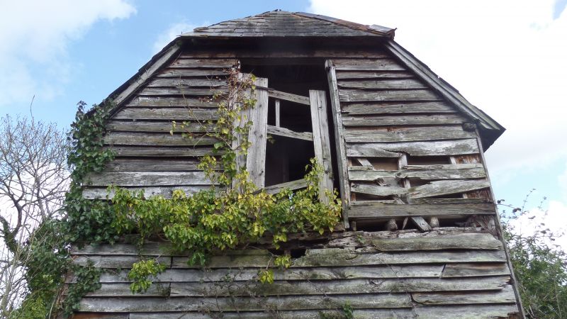
Granary. Early C19. Timber-frame on nine staddles, with boarded walls, and hipped
slate roof. Included for group value.
Listing NGR: SU3729622279
External links are from the relevant listing authority and, where applicable, Wikidata. Wikidata IDs may be related buildings as well as this specific building. If you want to add or update a link, you will need to do so by editing the Wikidata entry.


Other nearby listed buildings
