Approximate Location Map
Large Map »
Latitude: 50.9649 / 50°57'53"N
Longitude: -1.7906 / 1°47'26"W
OS Eastings: 414798
OS Northings: 118410
OS Grid: SU147184
Mapcode National: GBR 52L.J3J
Mapcode Global: FRA 764K.G6Z
Plus Code: 9C2WX675+XP
Entry Name: Granary
Listing Date: 13 February 1987
Grade: II
Source: Historic England
Source ID: 1179507
English Heritage Legacy ID: 143875
ID on this website: 101179507
Location: Upper Street, New Forest, Hampshire, SP6
County: Hampshire
District: New Forest
Civil Parish: Breamore
Traditional County: Hampshire
Lieutenancy Area (Ceremonial County): Hampshire
Church of England Parish: Breamore St Mary
Church of England Diocese: Winchester
Tagged with: Granary
SU 11 NW BREAMORE ROOKERY LANE
5/25 Granary
II
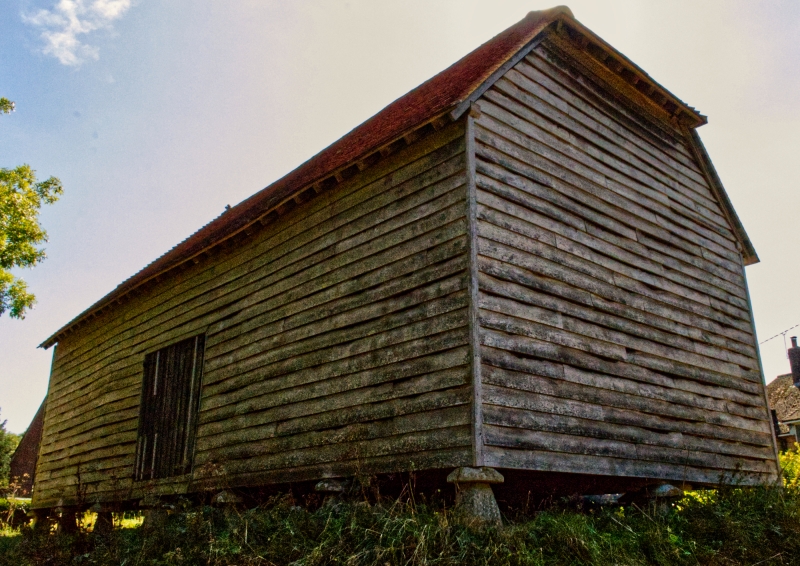
Granary. Early C19. Timber frame on 7 x 3 staddles. Boarded walls.
Half-hipped tile roof.
Listing NGR: SU1479818410
External links are from the relevant listing authority and, where applicable, Wikidata. Wikidata IDs may be related buildings as well as this specific building. If you want to add or update a link, you will need to do so by editing the Wikidata entry.


Other nearby listed buildings
