Approximate Location Map
Large Map »
Latitude: 51.0625 / 51°3'44"N
Longitude: -1.3161 / 1°18'57"W
OS Eastings: 448022
OS Northings: 129462
OS Grid: SU480294
Mapcode National: GBR 861.B2W
Mapcode Global: FRA 8649.T95
Plus Code: 9C3W3M6M+XH
Entry Name: 28 and 29, St Thomas Street
Listing Date: 14 January 1974
Grade: II
Source: Historic England
Source ID: 1095367
English Heritage Legacy ID: 144829
ID on this website: 101095367
Location: Winchester, Hampshire, SO23
County: Hampshire
District: Winchester
Electoral Ward/Division: St Michael
Parish: Non Civil Parish
Built-Up Area: Winchester
Traditional County: Hampshire
Lieutenancy Area (Ceremonial County): Hampshire
Church of England Parish: Winchester St Lawrence with St Swithun-upon-Kingsgate
Church of England Diocese: Winchester
Tagged with: Building
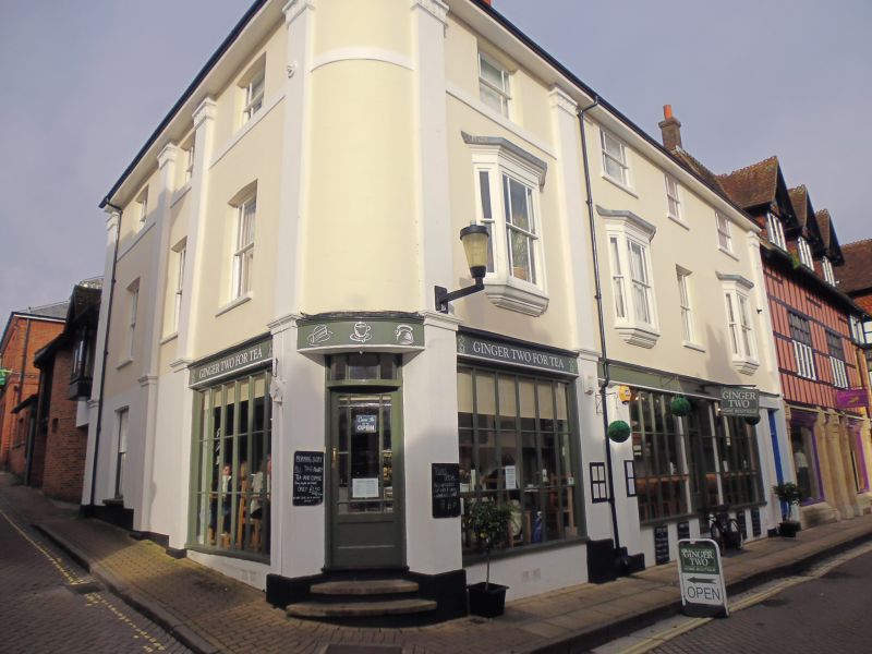
ST THOMAS STREET
1.
1833
(West Side)
Nos 28 & 29
SU 4829 SV 6/422
II GV
2.
Circa 1840. Description as No 27. No 29 is a continuation, a further
three windows of the same design. First floor oriels.
All the listed buildings in St Thomas Street form a group.
Listing NGR: SU4802029460
External links are from the relevant listing authority and, where applicable, Wikidata. Wikidata IDs may be related buildings as well as this specific building. If you want to add or update a link, you will need to do so by editing the Wikidata entry.


Other nearby listed buildings
