Approximate Location Map
Large Map »
Latitude: 52.033 / 52°1'58"N
Longitude: -2.4216 / 2°25'17"W
OS Eastings: 371173
OS Northings: 237264
OS Grid: SO711372
Mapcode National: GBR FZ.G1XY
Mapcode Global: VH860.Z549
Plus Code: 9C4V2HMH+69
Entry Name: Wall West of Bowling Green Cottage Along the Southend
Listing Date: 5 November 1976
Grade: II
Source: Historic England
Source ID: 1082811
English Heritage Legacy ID: 151998
ID on this website: 101082811
Location: Ledbury, County of Herefordshire, HR8
County: County of Herefordshire
Civil Parish: Ledbury
Built-Up Area: Ledbury
Traditional County: Herefordshire
Lieutenancy Area (Ceremonial County): Herefordshire
Church of England Parish: Ledbury
Church of England Diocese: Hereford
Tagged with: Wall
1.
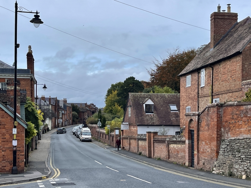
5245 THE SOUTHEND
(East Side)
------------
Wall west of
Bowling Green Cottage
along The Southend
SO 7137 SE 4/214
II
2.
C18 brick wall, panelled, and with ramped coping and brick dentils. Doorway with
fielded panel door.
Listing NGR: SO7117337264
External links are from the relevant listing authority and, where applicable, Wikidata. Wikidata IDs may be related buildings as well as this specific building. If you want to add or update a link, you will need to do so by editing the Wikidata entry.


Other nearby listed buildings
