Approximate Location Map
Large Map »
Latitude: 51.9148 / 51°54'53"N
Longitude: -0.2099 / 0°12'35"W
OS Eastings: 523218
OS Northings: 225543
OS Grid: TL232255
Mapcode National: GBR J7P.V22
Mapcode Global: VHGP0.94WG
Plus Code: 9C3XWQ7R+W2
Entry Name: 1, Bowling Green
Listing Date: 30 September 1976
Grade: II
Source: Historic England
Source ID: 1175864
English Heritage Legacy ID: 158012
ID on this website: 101175864
Location: Old Town, Stevenage, Hertfordshire, SG1
County: Hertfordshire
District: Stevenage
Electoral Ward/Division: Old Town
Parish: Non Civil Parish
Built-Up Area: Stevenage
Traditional County: Hertfordshire
Lieutenancy Area (Ceremonial County): Hertfordshire
Church of England Parish: Stevenage St Nicholas
Church of England Diocese: St.Albans
Tagged with: Building
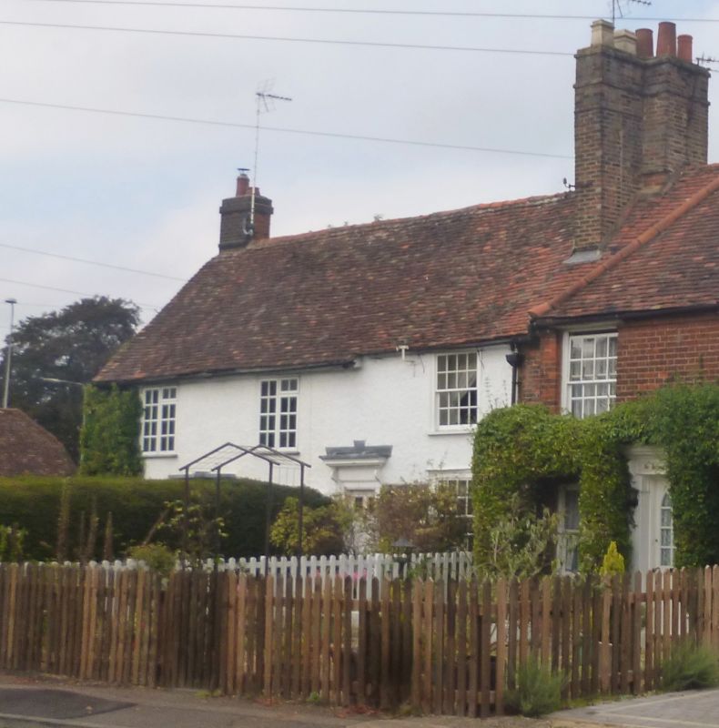
1.
5257 BOWLING GREEN
-------------
No 1
TL 2325 2/49
II GV
2.
C18. Whitewashed roughcast, old tiled roof. 2 storeys, 2 flush casement windows
with glazing bars. Dentil doorhood On panelled pilasters. Included for group
value.
Nos 1 to 3 (consec) form a group.
Listing NGR: TL2321825543
External links are from the relevant listing authority and, where applicable, Wikidata. Wikidata IDs may be related buildings as well as this specific building. If you want to add or update a link, you will need to do so by editing the Wikidata entry.


Other nearby listed buildings
