Approximate Location Map
Large Map »
Latitude: 53.8391 / 53°50'20"N
Longitude: -0.4142 / 0°24'51"W
OS Eastings: 504446
OS Northings: 439258
OS Grid: TA044392
Mapcode National: GBR TSK1.4J
Mapcode Global: WHGF4.LRZR
Plus Code: 9C5XRHQP+J8
Entry Name: The Sloop Public House
Listing Date: 30 June 1987
Grade: II
Source: Historic England
Source ID: 1346316
English Heritage Legacy ID: 167105
Also known as: The Sloop Inn, Beverley
Sloop Inn
ID on this website: 101346316
Location: East Riding of Yorkshire, HU17
County: East Riding of Yorkshire
Civil Parish: Beverley
Built-Up Area: Beverley
Traditional County: Yorkshire
Lieutenancy Area (Ceremonial County): East Riding of Yorkshire
Church of England Parish: Beverley Minster St John and St Martin
Church of England Diocese: York
Tagged with: Pub
BEVERLEY BECKSIDE
TA 0439 (south side)
11/6
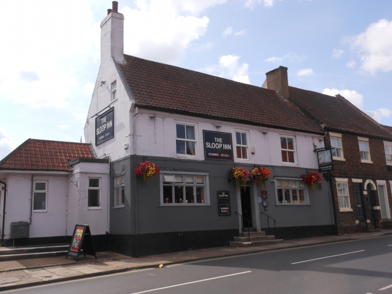
- The Sloop Public House
GV II
C18. 2 storeys, rendered, with pantile roof with end stacks. 3 windows, no
glazing bars, over 2 modern windows of 8 lights. Door with plain surround.
Listing NGR: TA0444639258
External links are from the relevant listing authority and, where applicable, Wikidata. Wikidata IDs may be related buildings as well as this specific building. If you want to add or update a link, you will need to do so by editing the Wikidata entry.


Other nearby listed buildings
