Approximate Location Map
Large Map »
Latitude: 51.2802 / 51°16'48"N
Longitude: 1.0861 / 1°5'10"E
OS Eastings: 615325
OS Northings: 157970
OS Grid: TR153579
Mapcode National: GBR TY2.RDL
Mapcode Global: VHLGM.S21Y
Plus Code: 9F3373JP+3F
Entry Name: 37, Broad Street
Listing Date: 7 September 1973
Grade: II
Source: Historic England
Source ID: 1249342
English Heritage Legacy ID: 170414
ID on this website: 101249342
Location: Northgate, Canterbury, Kent, CT1
County: Kent
District: Canterbury
Electoral Ward/Division: Barton
Parish: Non Civil Parish
Built-Up Area: Canterbury
Traditional County: Kent
Lieutenancy Area (Ceremonial County): Kent
Tagged with: Building
1.
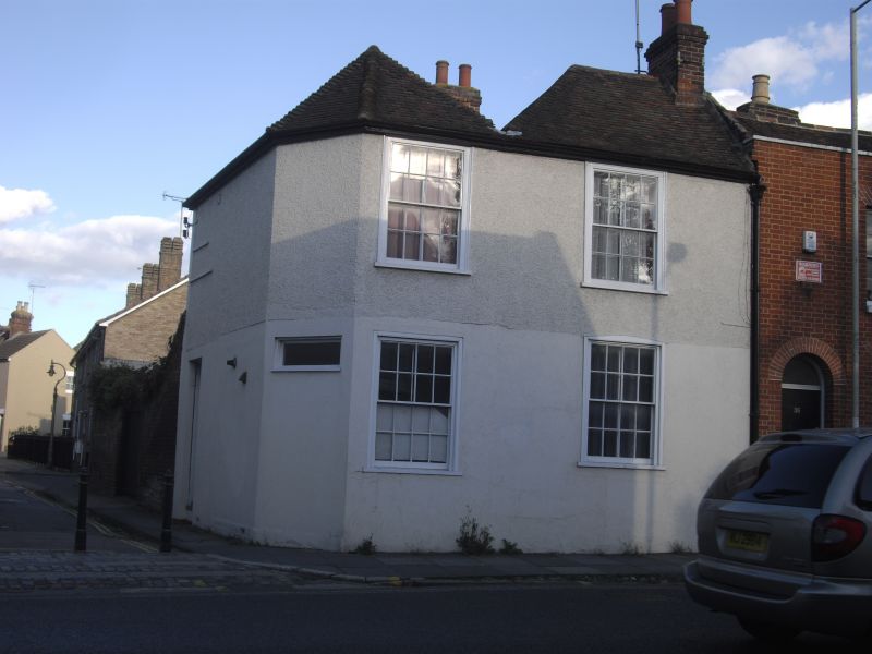
944 BROAD STREET
(North East Side)
No 37
TR 1557 NW 5/428
II GV
2.
Early C19. 2 storeys. Ground floor stuccoed, first floor pebble dash.
Hipped tiled roof. 2 sashes with verticals only set in moulded architraves.
Early C19 shopfront with shuttered windows and 4 plain pilasters. Corner
doorcase. Grade II for group value.
Nos 33 to 44 (consec) and No 46 form a group.
Listing NGR: TR1532957971
External links are from the relevant listing authority and, where applicable, Wikidata. Wikidata IDs may be related buildings as well as this specific building. If you want to add or update a link, you will need to do so by editing the Wikidata entry.


Other nearby listed buildings
