Approximate Location Map
Large Map »
Latitude: 51.2795 / 51°16'46"N
Longitude: 1.0813 / 1°4'52"E
OS Eastings: 614990
OS Northings: 157885
OS Grid: TR149578
Mapcode National: GBR TY2.Q67
Mapcode Global: VHLGM.P3HG
Plus Code: 9F3373HJ+RG
Entry Name: 4, the Cathedral Precincts
Listing Date: 3 May 1967
Grade: II
Source: Historic England
Source ID: 1252894
English Heritage Legacy ID: 170543
ID on this website: 101252894
Location: Canterbury, Kent, CT1
County: Kent
District: Canterbury
Electoral Ward/Division: Westgate
Parish: Non Civil Parish
Built-Up Area: Canterbury
Traditional County: Kent
Lieutenancy Area (Ceremonial County): Kent
Tagged with: Building
1.
944 THE CATHEDRAL PRECINCTS
No 4
TR 1457 NE 4/6 3.5.67.
II GV
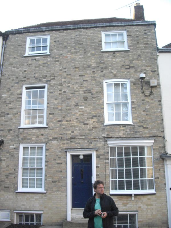
2.
Early C19 facade. 3 storeys and basement painted brick. Hipped tiled roof.
2 sashes with glazing bars intact, 1st floor has right side 3 light canted
bay. Ground floor has 1 bow and central doorcase set in wooden architrave
with 6 parelled doors. 3 steps.
Nos 1 to 7 (consec) form a group.
Listing NGR: TR1499057885
External links are from the relevant listing authority and, where applicable, Wikidata. Wikidata IDs may be related buildings as well as this specific building. If you want to add or update a link, you will need to do so by editing the Wikidata entry.


Other nearby listed buildings
