Approximate Location Map
Large Map »
Latitude: 51.2794 / 51°16'45"N
Longitude: 1.0796 / 1°4'46"E
OS Eastings: 614871
OS Northings: 157868
OS Grid: TR148578
Mapcode National: GBR TY2.PRV
Mapcode Global: VHLGM.N3LJ
Plus Code: 9F3373HH+QR
Entry Name: 14, High Street
Listing Date: 7 September 1973
Grade: II
Source: Historic England
Source ID: 1240679
English Heritage Legacy ID: 170641
ID on this website: 101240679
Location: Canterbury, Kent, CT1
County: Kent
District: Canterbury
Electoral Ward/Division: Westgate
Parish: Non Civil Parish
Built-Up Area: Canterbury
Traditional County: Kent
Lieutenancy Area (Ceremonial County): Kent
Tagged with: Building
1.
944 HIGH STREET
(North East Side)
TR 1457 NE 4/309 No 14
II GV
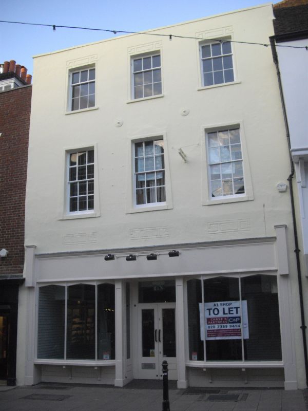
2.
C18. 3 storeys stuccoed. Parapet with stone coping. 3 sashes with glazing
bars intact. Braces. Later shop front.
Nos 11 to 15 (consec) form a group.
Listing NGR: TR1487957877
External links are from the relevant listing authority and, where applicable, Wikidata. Wikidata IDs may be related buildings as well as this specific building. If you want to add or update a link, you will need to do so by editing the Wikidata entry.


Other nearby listed buildings
