Approximate Location Map
Large Map »
Latitude: 51.2761 / 51°16'33"N
Longitude: 0.1743 / 0°10'27"E
OS Eastings: 551753
OS Northings: 155237
OS Grid: TQ517552
Mapcode National: GBR MMX.WC6
Mapcode Global: VHHPR.Z603
Plus Code: 9F3275GF+CP
Entry Name: Farm Buildings Adjoining Britain's Farmhouse
Listing Date: 29 September 1972
Grade: II
Source: Historic England
Source ID: 1086045
English Heritage Legacy ID: 172161
ID on this website: 101086045
Location: Kippington, Sevenoaks, Kent, TN13
County: Kent
District: Sevenoaks
Civil Parish: Sevenoaks
Built-Up Area: Sevenoaks
Traditional County: Kent
Lieutenancy Area (Ceremonial County): Kent
Church of England Parish: Kippington St Mary
Church of England Diocese: Rochester
Tagged with: Farmhouse
BRITAIN'S LANE
1.
1614
Farm Buildings
adjoining Britain's Farmhouse
TQ 55 NW/3/108B
II
2.
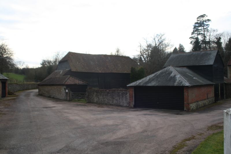
Group of farmbuildings including large weatherboarded barn with
half hipped ridge tiled roof.
Listing NGR: TQ5174355272
External links are from the relevant listing authority and, where applicable, Wikidata. Wikidata IDs may be related buildings as well as this specific building. If you want to add or update a link, you will need to do so by editing the Wikidata entry.


Other nearby listed buildings
