Approximate Location Map
Large Map »
Latitude: 51.2764 / 51°16'35"N
Longitude: 0.2019 / 0°12'6"E
OS Eastings: 553677
OS Northings: 155336
OS Grid: TQ536553
Mapcode National: GBR MMY.XJ7
Mapcode Global: VHHPS.G52T
Plus Code: 9F3276G2+HQ
Entry Name: Park Boundary Wall at Knole
Listing Date: 29 September 1972
Grade: II
Source: Historic England
Source ID: 1085988
English Heritage Legacy ID: 172229
ID on this website: 101085988
Location: Sevenoaks, Kent, TN15
County: Kent
District: Sevenoaks
Civil Parish: Sevenoaks
Traditional County: Kent
Lieutenancy Area (Ceremonial County): Kent
Church of England Parish: Sevenoaks St John the Baptist
Church of England Diocese: Rochester
Tagged with: Building
KNOLE PARK
1.
1614
Park Boundary
Wall at Knole
TQ 5355/2/83
TQ 55 NW/3/83
TQ 55 SW/4/83
TQ 55 SE/5/83
II
2.
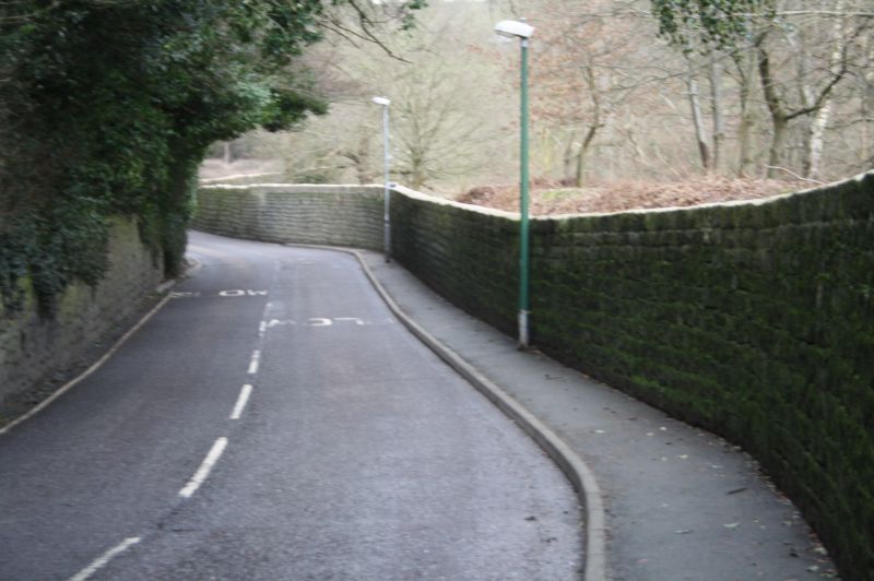
Running from Seal Hollow Road to Bowpits cottages, and forming the Northern
boundary of the deer park. This wall was built in the early Cl9 and is of
coursed stone blocks with flint infilling to mortar joints (dry stone in places).
Listing NGR: TQ5367755336
External links are from the relevant listing authority and, where applicable, Wikidata. Wikidata IDs may be related buildings as well as this specific building. If you want to add or update a link, you will need to do so by editing the Wikidata entry.


Other nearby listed buildings
