Approximate Location Map
Large Map »
Latitude: 51.2705 / 51°16'13"N
Longitude: 0.5249 / 0°31'29"E
OS Eastings: 576226
OS Northings: 155398
OS Grid: TQ762553
Mapcode National: GBR PR7.7JY
Mapcode Global: VHJMF.1BVD
Plus Code: 9F327GCF+5X
Entry Name: 6-10, Knightrider Street
Listing Date: 2 August 1974
Grade: II
Source: Historic England
Source ID: 1224597
English Heritage Legacy ID: 173380
ID on this website: 101224597
Location: Maidstone, Kent, ME15
County: Kent
District: Maidstone
Electoral Ward/Division: High Street
Parish: Non Civil Parish
Built-Up Area: Maidstone
Traditional County: Kent
Lieutenancy Area (Ceremonial County): Kent
Tagged with: Building
KNIGHTRIDER STREET
1.
5278
(North Side)
Nos 6 to 10 (even)
TQ 7655 SW 7/296
II GV
2.
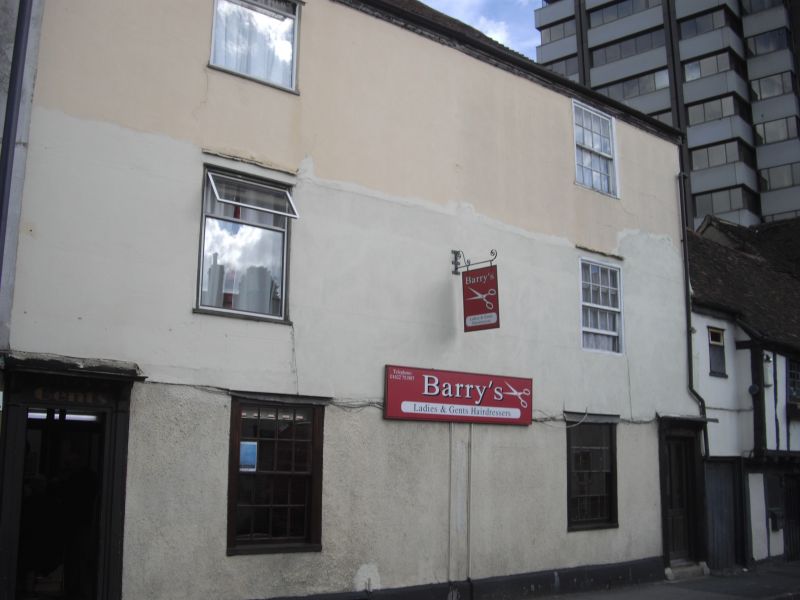
An early to mid C19 terrace. 3 storeys and basement cement rendered. No 8
is stuccoed. Hipped old tiled roof. 1 sash each. Only No 10 has glazing bars
intact. Nos 6 and 8 have doorcases with cornices supported on brackets and
rectangular fanlights. No 10 has a later shopfront.
Forms a group with No 4A and 70 Lower Stone Street.
Listing NGR: TQ7622255397
External links are from the relevant listing authority and, where applicable, Wikidata. Wikidata IDs may be related buildings as well as this specific building. If you want to add or update a link, you will need to do so by editing the Wikidata entry.


Other nearby listed buildings
