Approximate Location Map
Large Map »
Latitude: 51.2367 / 51°14'12"N
Longitude: 0.7199 / 0°43'11"E
OS Eastings: 589969
OS Northings: 152132
OS Grid: TQ899521
Mapcode National: GBR QT6.GT8
Mapcode Global: VHKK5.F5GR
Plus Code: 9F326PP9+MX
Entry Name: Table Tomb Circa 50 Yards North East of Vestry of Church of St Mary
Listing Date: 14 December 1984
Grade: II
Source: Historic England
Source ID: 1086107
English Heritage Legacy ID: 173870
ID on this website: 101086107
Location: St Mary's Church, Lenham, Maidstone, Kent, ME17
County: Kent
District: Maidstone
Civil Parish: Lenham
Built-Up Area: Lenham
Traditional County: Kent
Lieutenancy Area (Ceremonial County): Kent
Tagged with: Table tomb
LENHAM
TQ 8952
10/136
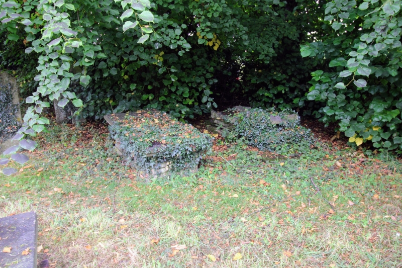
Table Tomb circa
50 yards north-east
of vestry of Church
of St. Mary
GV
II
Table tomb. Early C18: Stone. Moulded plinth, corniced lid
and moulded side panels. Inscription largely illegible at
time of resurvey.
Listing NGR: TQ8996452127
External links are from the relevant listing authority and, where applicable, Wikidata. Wikidata IDs may be related buildings as well as this specific building. If you want to add or update a link, you will need to do so by editing the Wikidata entry.


Other nearby listed buildings
