Approximate Location Map
Large Map »
Latitude: 51.2615 / 51°15'41"N
Longitude: 0.6248 / 0°37'29"E
OS Eastings: 583230
OS Northings: 154638
OS Grid: TQ832546
Mapcode National: GBR QSP.W85
Mapcode Global: VHJMG.SK5B
Plus Code: 9F327J6F+HW
Entry Name: Garden Wall and Gatepier About 20 Metres to North North East of Cotauams House
Listing Date: 21 October 1986
Grade: II
Source: Historic England
Source ID: 1060792
English Heritage Legacy ID: 174373
ID on this website: 101060792
Location: Eyhorne Street, Maidstone, Kent, ME17
County: Kent
District: Maidstone
Civil Parish: Hollingbourne
Traditional County: Kent
Lieutenancy Area (Ceremonial County): Kent
Tagged with: Wall
HOLLINGBOURNE EYHORNE STREET
TQ 8354 (South Side)
9/145 Garden Wall and
Gatepier About 20
Metres to North-North-
East of Cotuams House
GV II
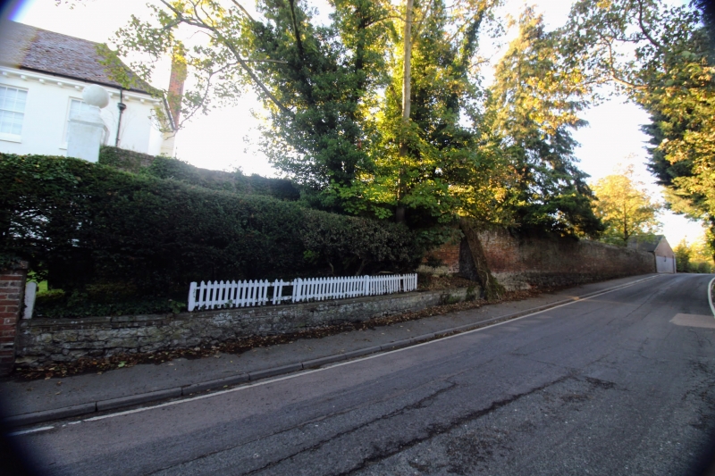
Wall and pier. Late C18. Brick wall of irregular bond on stone
plinth. About 8 metres long and 3 metres high. Brick coped.
Taller rectangular pier at road end, with stone ball finial.
Listing NGR: TQ8323054638
External links are from the relevant listing authority and, where applicable, Wikidata. Wikidata IDs may be related buildings as well as this specific building. If you want to add or update a link, you will need to do so by editing the Wikidata entry.


Other nearby listed buildings
