Approximate Location Map
Large Map »
Latitude: 51.2249 / 51°13'29"N
Longitude: 0.4299 / 0°25'47"E
OS Eastings: 569771
OS Northings: 150108
OS Grid: TQ697501
Mapcode National: GBR NQC.1J4
Mapcode Global: VHJMK.DGNT
Plus Code: 9F326CFH+XX
Entry Name: The Tatt
Listing Date: 14 October 1987
Grade: II
Source: Historic England
Source ID: 1344063
English Heritage Legacy ID: 174938
ID on this website: 101344063
Location: Yalding, Maidstone, Kent, ME18
County: Kent
District: Maidstone
Civil Parish: Yalding
Built-Up Area: Yalding
Traditional County: Kent
Lieutenancy Area (Ceremonial County): Kent
Church of England Parish: Yalding St Peter and St Paul
Church of England Diocese: Rochester
Tagged with: Architectural structure
YALDING HIGH STREET
TQ 6950
(West side)
6/140
The Tatt
GV
II
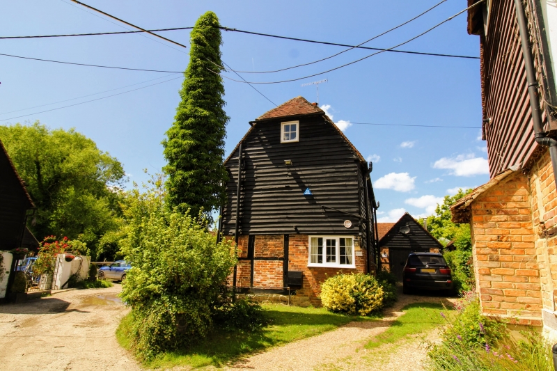
House. Early C16 or earlier, with C18 and C19 alterations. Timber framed.
Ground floor patched red and grey brick. Broadly-spaced studding with
red brick infilling to right gable end. First floor tile-hung, tile-
hanging brought down below heads of ground floor windows. First floor of
right gable end and rear weatherboarded. Plain tile roof. 3 roughly
equal-length timber-framed bays; 2-bay open hall, and storeyed right end
bay (left end bay non-extant). Midrail and eaves raised, probably in
C18. Two storeys, on ragstone plinth. Half-hipped roof. Central red
and grey brick ridge stack. Irregular fenestration of 2 recessed sixteen-
pane sashes to each floor. Central boarded door with flat bracketed hood.
Single-storey C20 brick addition to left, projecting forwards slightly,
with plain tile roof, weatherboarded gable and two paned wooden casements.
Interior: some exposed framing. Gunstock-jowled posts to medieval frame.
Staggered butt purlin roof re-using sooted rafters from a collared common
rafter (or crown-post) roof. Small late C18 or C19 brick fireplace with
cambered head.
Listing NGR: TQ6976850110
External links are from the relevant listing authority and, where applicable, Wikidata. Wikidata IDs may be related buildings as well as this specific building. If you want to add or update a link, you will need to do so by editing the Wikidata entry.


Other nearby listed buildings
