Approximate Location Map
Large Map »
Latitude: 51.0838 / 51°5'1"N
Longitude: 1.1786 / 1°10'43"E
OS Eastings: 622719
OS Northings: 136412
OS Grid: TR227364
Mapcode National: GBR W1V.YM7
Mapcode Global: FRA F6C8.10R
Plus Code: 9F3335MH+GF
Entry Name: Railway Viaduct
Listing Date: 11 March 1975
Grade: II
Source: Historic England
Source ID: 1061235
English Heritage Legacy ID: 175277
Also known as: Foord Viaduct
ID on this website: 101061235
Location: Folkestone, Folkestone and Hythe, Kent, CT20
County: Kent
District: Folkestone and Hythe
Civil Parish: Folkestone
Built-Up Area: Folkestone
Traditional County: Kent
Lieutenancy Area (Ceremonial County): Kent
Tagged with: Building Railway viaduct
1.
5281 BRADSTONE ROAD
FOLKESTONE
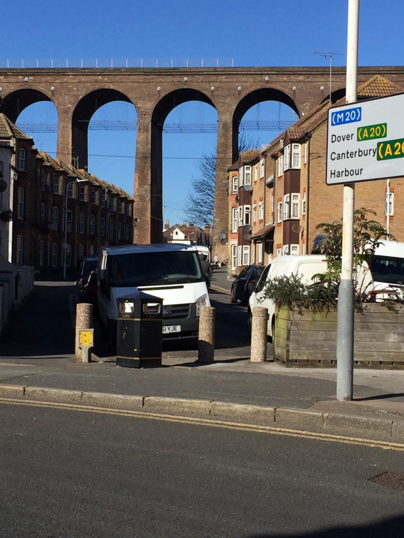
Railway Viaduct
TR 2236 SE 4/60
II
2.
Built 1843 by William Cubitt. Consists of 19 round-headed brick arches spanning
tile Foord Valley, nearly l00 ft high in the centre. Included for its technical
interest and scenic qualities.
Listing NGR: TR2271936412
External links are from the relevant listing authority and, where applicable, Wikidata. Wikidata IDs may be related buildings as well as this specific building. If you want to add or update a link, you will need to do so by editing the Wikidata entry.


Other nearby listed buildings
