Approximate Location Map
Large Map »
Latitude: 51.3394 / 51°20'21"N
Longitude: 0.7392 / 0°44'21"E
OS Eastings: 590889
OS Northings: 163596
OS Grid: TQ908635
Mapcode National: GBR RT6.V12
Mapcode Global: VHKJL.RLNL
Plus Code: 9F328PQQ+QM
Entry Name: 25, High Street
Listing Date: 13 December 1974
Grade: II
Source: Historic England
Source ID: 1061020
English Heritage Legacy ID: 175769
ID on this website: 101061020
Location: Sittingbourne, Swale, Kent, ME10
County: Kent
District: Swale
Electoral Ward/Division: Chalkwell
Parish: Non Civil Parish
Built-Up Area: Sittingbourne
Traditional County: Kent
Lieutenancy Area (Ceremonial County): Kent
Tagged with: Building
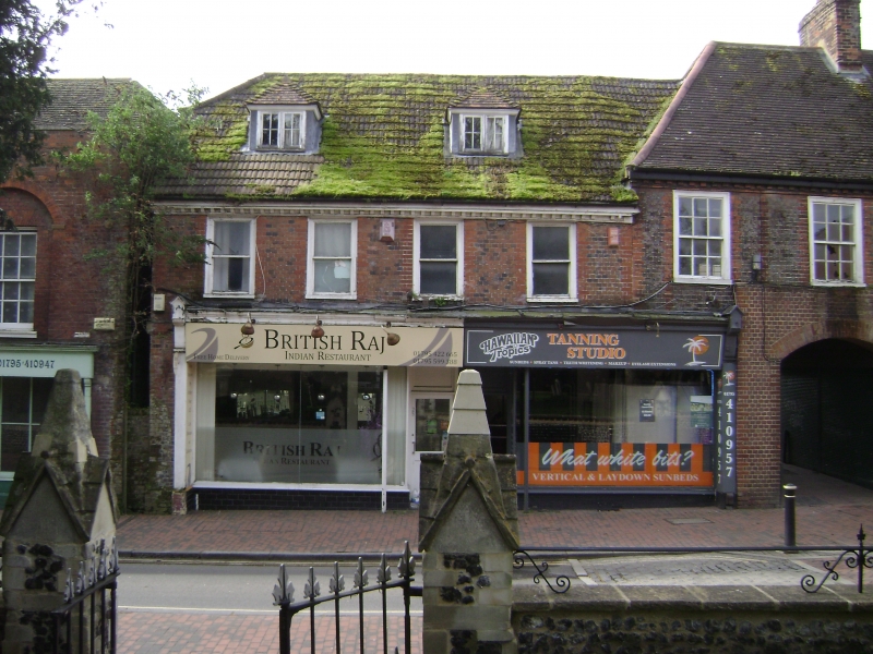
1.
5282 HIGH STREET
(South Side)
SITTINGBOURNE
No 25
TQ 9063 NE 2/9
II GV
2.
C18. 2 storeys and attics grey headers with red brick window dressings and quoins.
Modern tiled roof and wooden modillion eaves cornice. 4 sashes with glazing bars
missing. Late Cl9 shop front. Grade II for group value.
Nos 23 to 45 (odd) and 49 to 81 (odd) form a group.
Listing NGR: TQ9088963596
External links are from the relevant listing authority and, where applicable, Wikidata. Wikidata IDs may be related buildings as well as this specific building. If you want to add or update a link, you will need to do so by editing the Wikidata entry.


Other nearby listed buildings
