Approximate Location Map
Large Map »
Latitude: 51.3189 / 51°19'7"N
Longitude: 0.8951 / 0°53'42"E
OS Eastings: 601836
OS Northings: 161733
OS Grid: TR018617
Mapcode National: GBR SW3.C3M
Mapcode Global: VHKJW.G3KS
Plus Code: 9F328V9W+H2
Entry Name: Wall Enclosing Garden Behind Arden's House on the North Side
Listing Date: 3 August 1972
Grade: II
Source: Historic England
Source ID: 1061011
English Heritage Legacy ID: 175845
ID on this website: 101061011
Location: Faversham, Swale, Kent, ME13
County: Kent
District: Swale
Civil Parish: Faversham
Built-Up Area: Faversham
Traditional County: Kent
Lieutenancy Area (Ceremonial County): Kent
Tagged with: Wall
ABBEY STREET
1.
1103 (East Side)
-----------
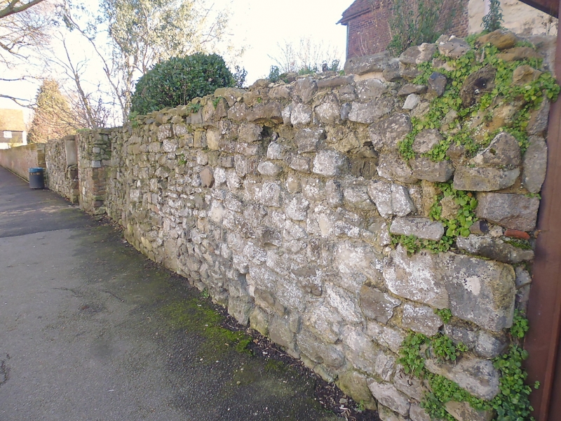
Wall enclosing garden
behind Arden's House
on the North side
TR 0161 NE 1/88A
II GV
2.
Wall of stone rubble (about 5 feet 6 inches high) from the medieval Abbey
of Faversham. AM.
Nos 80 and 81 and Wall enclosing garden behind No 80 forn a group.
Listing NGR: TR0183661733
External links are from the relevant listing authority and, where applicable, Wikidata. Wikidata IDs may be related buildings as well as this specific building. If you want to add or update a link, you will need to do so by editing the Wikidata entry.


Other nearby listed buildings
