Approximate Location Map
Large Map »
Latitude: 51.3142 / 51°18'51"N
Longitude: 0.8911 / 0°53'27"E
OS Eastings: 601577
OS Northings: 161204
OS Grid: TR015612
Mapcode National: GBR SW3.J45
Mapcode Global: VHKJW.D7GC
Plus Code: 9F328V7R+MC
Entry Name: The Hole in the Wall Inn
Listing Date: 29 July 1950
Grade: II
Source: Historic England
Source ID: 1320303
English Heritage Legacy ID: 175994
ID on this website: 101320303
Location: Faversham, Swale, Kent, ME13
County: Kent
District: Swale
Civil Parish: Faversham
Built-Up Area: Faversham
Traditional County: Kent
Lieutenancy Area (Ceremonial County): Kent
Tagged with: Inn
PRESTON STEET
1.
1103 (West Side)
-------------
Nos 73 & 74
No 75
(The Hole in the Wall Inn)
TR 0161 SE 3/61 29.7.50.
II GV
2.
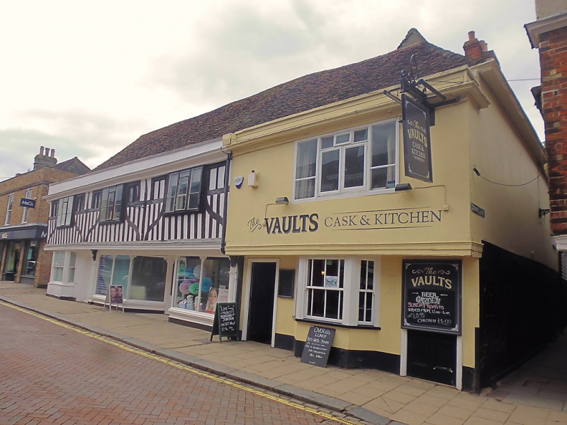
1 roof span. C16. Timber-framed building, altered in the C18, but
retaining the overhang of its 1st floor on a bressummer. C19 and
later shop fronts with early Cl9 bay window at South end. Above
plastered. Cornice and parapet. Tiled roofs. Modern casement windows.
2 storeys, 4 windows.
Nos 73 to 78 (consec) form a group.
Listing NGR: TR0157261208
External links are from the relevant listing authority and, where applicable, Wikidata. Wikidata IDs may be related buildings as well as this specific building. If you want to add or update a link, you will need to do so by editing the Wikidata entry.


Other nearby listed buildings
