Approximate Location Map
Large Map »
Latitude: 51.2249 / 51°13'29"N
Longitude: 1.404 / 1°24'14"E
OS Eastings: 637771
OS Northings: 152810
OS Grid: TR377528
Mapcode National: GBR X1Y.1SX
Mapcode Global: VHMDG.9G2T
Plus Code: 9F336CF3+XH
Entry Name: Rose and Crown Public House
Listing Date: 8 February 1974
Grade: II
Source: Historic England
Source ID: 1069915
English Heritage Legacy ID: 176956
ID on this website: 101069915
Location: Deal, Dover, Kent, CT14
County: Kent
District: Dover
Civil Parish: Deal
Built-Up Area: Deal
Traditional County: Kent
Lieutenancy Area (Ceremonial County): Kent
Tagged with: Pub
BEACH STREET
1.
1035
(West Side)
Nos 77 and 79
(Rose and Crown
Public House)
TR 3752 NE 1/192
II GV
2.
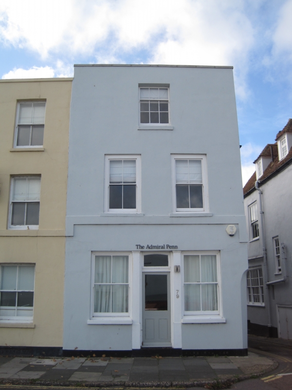
Originally 2 houses. Early C19. 3 storeys, No 77 is stuccoed, No 79 is partly
roughcast with a stuccoed ground floor. 2 sashes each with verticals only. No
79 has 1 sash on 2nd floor and an early Cl9 shopfront with 2 plain pilasters.
Nos 73 to 87 (odd) form a group.
Listing NGR: TR3777152810
External links are from the relevant listing authority and, where applicable, Wikidata. Wikidata IDs may be related buildings as well as this specific building. If you want to add or update a link, you will need to do so by editing the Wikidata entry.


Other nearby listed buildings
