Approximate Location Map
Large Map »
Latitude: 51.2262 / 51°13'34"N
Longitude: 1.4041 / 1°24'14"E
OS Eastings: 637775
OS Northings: 152950
OS Grid: TR377529
Mapcode National: GBR X1Y.1TK
Mapcode Global: VHMDG.9F5V
Plus Code: 9F336CG3+FJ
Entry Name: St Elmo
Listing Date: 8 February 1974
Grade: II
Source: Historic England
Source ID: 1069876
English Heritage Legacy ID: 176967
ID on this website: 101069876
Location: Deal, Dover, Kent, CT14
County: Kent
District: Dover
Civil Parish: Deal
Built-Up Area: Deal
Traditional County: Kent
Lieutenancy Area (Ceremonial County): Kent
Tagged with: Building
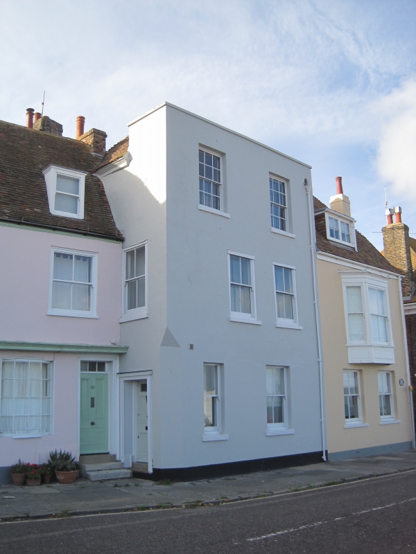
BEACH STREET
1.
1035
(West Side)
No 115
(St Elmo)
TR 3752 NE 1/199
II GV
2.
Late C18 to early C19. 3 storeys and basement stuccoed. Hipped tiled roof and
parapet with stone coping. 2 sashes with glazing bars intact to top storey only,
verticals to rest. The ground floor has Venetian shutters. Simple doorcase
on the side has a 3 panelled door.
No 101 and Nos 105 to 117 (odd) form a group.
Listing NGR: TR3777552950
External links are from the relevant listing authority and, where applicable, Wikidata. Wikidata IDs may be related buildings as well as this specific building. If you want to add or update a link, you will need to do so by editing the Wikidata entry.


Other nearby listed buildings
