Approximate Location Map
Large Map »
Latitude: 51.117 / 51°7'1"N
Longitude: 1.2808 / 1°16'50"E
OS Eastings: 629710
OS Northings: 140418
OS Grid: TR297404
Mapcode National: GBR W1M.SRY
Mapcode Global: VHLHJ.46Z2
Plus Code: 9F33478J+Q8
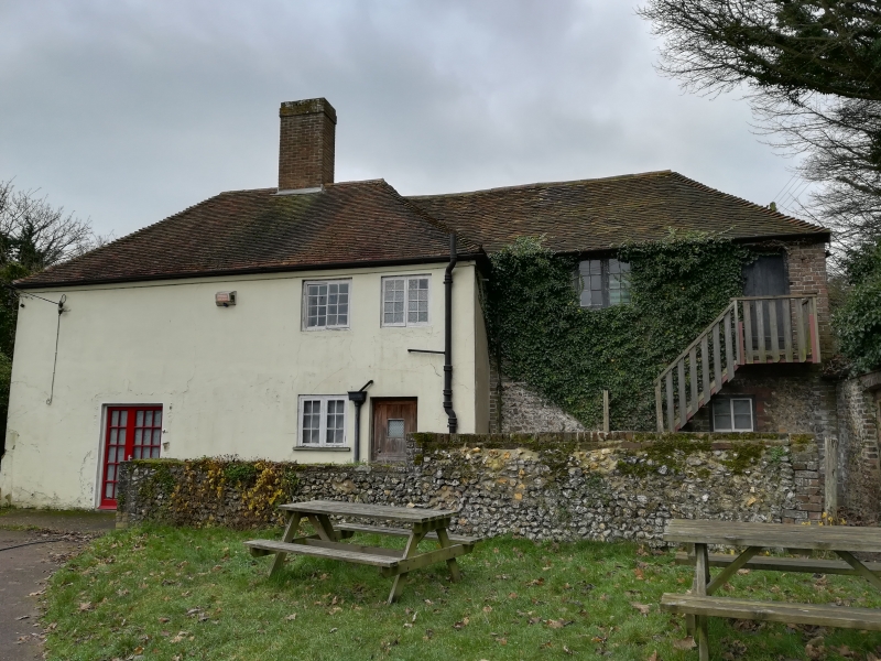
Entry Name: Great Farthingloe Farmhouse
Listing Date: 17 December 1973
Grade: II
Source: Historic England
Source ID: 1115131
English Heritage Legacy ID: 177767
ID on this website: 101115131
Location: Farthingloe, Dover, Kent, CT15
County: Kent
District: Dover
Civil Parish: Dover
Traditional County: Kent
Lieutenancy Area (Ceremonial County): Kent
Tagged with: Farmhouse
FOLKESTONE ROAD
1. (South Side)
1050
Great Farthingloe
Farmhouse
TR 24 SE 8/63
II
2.
Early C19. 3 storeys yellow brick. 3 windows with glazing bars intact.
2 bay windows on ground floor. Doorway up 7 steps with pilasters pediment,
semi-circular fanlight and 6 panel moulded door.
Listing NGR: TR2933240374
External links are from the relevant listing authority and, where applicable, Wikidata. Wikidata IDs may be related buildings as well as this specific building. If you want to add or update a link, you will need to do so by editing the Wikidata entry.


Other nearby listed buildings
